
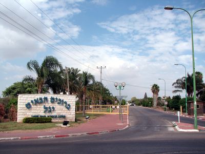
Yagel, human settlement in Israel
Location: Sdot Dan Regional Council
Inception: 1950
Elevation above the sea: 38 m
GPS coordinates: 31.98780,34.87900
Latest update: March 23, 2025 12:02
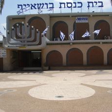
Bushaif Synagogue
1.8 km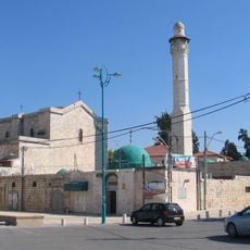
Church of Saint George
4.3 km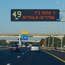
Express Line Highway 1
4.1 km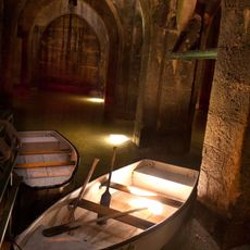
Pool of the Arches
6.3 km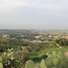
Hadid
5.6 km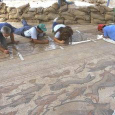
Lod Mosaic
4.2 km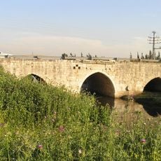
Jisr Jindas
3 km
Israel trucks museum
6.6 km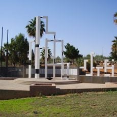
Logistic Corps Memorial
6.7 km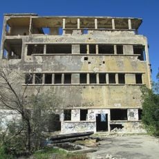
Mandate period building in Beer Yaakov
5.6 km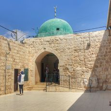
Great Omari Mosque of Lod
4.3 km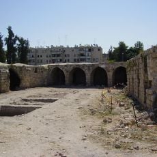
Old khan of Lod
4.2 km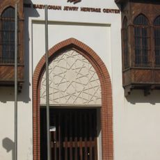
The babylonian jewry heritage center
4.9 km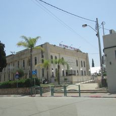
Beit Menachem synagogue, kfar chabad
2.8 km
Mahane Yisrael
3.5 km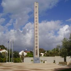
Israeli Signal Corps memorial (Yehud)
5.5 km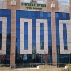
The Charedi Campus - The Academic College Ono
4.1 km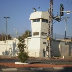
הטגארט ברמלה בתוך כלא איילון
5.9 km
Ben-Gurion International Airport Garden
1.6 km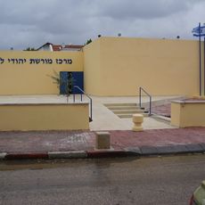
Lybian Jewish Heritage Museum
5.6 km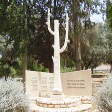
Monument to the Fallen of the 42nd Kiryati Battalion at the War of Independence, Ramle
6.2 km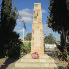
42th battalion memorials in Tzrifin
5 km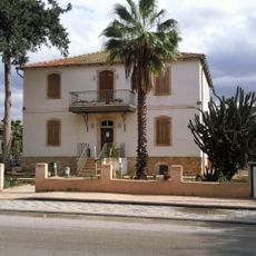
בית בולאך
5.3 km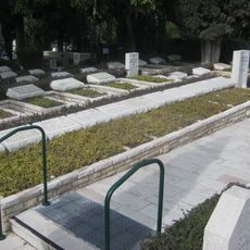
Rishon leZion Military Cemetery
6.2 km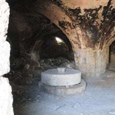
מסבנת אל–פאר
4.2 km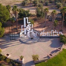
Monument Hadid
6.7 km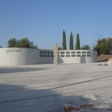
Monument to the fallen of Israel Security Agency
6.2 km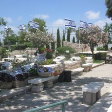
Lod Military Cemetery
4.9 kmReviews
Visited this place? Tap the stars to rate it and share your experience / photos with the community! Try now! You can cancel it anytime.
Discover hidden gems everywhere you go!
From secret cafés to breathtaking viewpoints, skip the crowded tourist spots and find places that match your style. Our app makes it easy with voice search, smart filtering, route optimization, and insider tips from travelers worldwide. Download now for the complete mobile experience.

A unique approach to discovering new places❞
— Le Figaro
All the places worth exploring❞
— France Info
A tailor-made excursion in just a few clicks❞
— 20 Minutes