Enable Location

We need your location to show you interesting places around you

Discover nearby places

Find interesting locations and hidden gems around you

Precise directions

Get accurate directions and distances to places

Your location is never shared with other users. It's only used when you tap the location button.

Beed district

Log in to your account

Start exploring — it's free

Trusted by 61,450 travelers worldwide

Continue with Google
Continue with Apple
or

We will send you a code to connect

By continuing, you accept our Terms and Conditions and our Privacy Policy

Check your inbox

We've sent a pincode in your inbox. Please enter the code below.

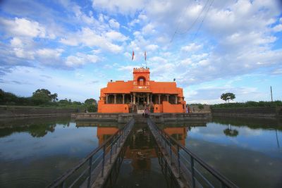
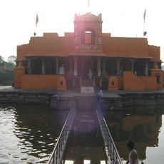
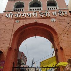
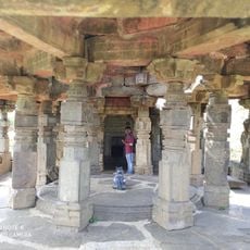
Beed district, Administrative district in Sambhajinagar division, Maharashtra, India

Description

Beed district is an administrative division in Sambhajinagar region covering approximately 10,700 square kilometers with headquarters in the main city. The territory divides into eleven administrative units that each manage local governance and public services.

History

The region was originally governed as part of Hyderabad State until joining Maharashtra in 1960 as an independent administrative unit. This merger brought new governance structures and marked a turning point in regional administration.

Culture

The main city functions as a central market where farmers bring their harvest and traders conduct business, showing how agriculture connects people across the district. This marketplace tradition remains central to how communities live and work together.

Practical

Travel through the region is easiest during dry months when roads connecting administrative centers are in good condition. Public transportation links the main city with smaller towns and villages across the eleven administrative units.

Did you know?

The region produces significant quantities of sugar through processing of locally grown sugarcane in multiple factories dotted across the district. This sugar production employs thousands and shapes the economic activities that communities depend on.

Capital city
Beed
Shares border with
Jalna district, Latur district
GPS coordinates
18.83333,75.75000
Latest update
December 14, 2025 19:30

AroundUs brings together thousands of curated places, local tips, and hidden gems, enriched daily by 60,000 contributors worldwide. Discover all places nearby (Sambhajinagar division).

« Beed district - Administrative district in Sambhajinagar division, Maharashtra, India » is provided by Around Us (aroundus.com). Images and texts are derived from Wikimedia project under a Creative Commons license. You are allowed to copy, distribute, and modify copies of this page, under the conditions set by the license, as long as this note is clearly visible.

Discover hidden gems everywhere you go!

From secret cafés to breathtaking viewpoints, skip the crowded tourist spots and find places that match your style. Our app makes it easy with voice search, smart filtering, route optimization, and insider tips from travelers worldwide. Download now for the complete mobile experience.

Around Us App Screenshot

A unique approach to discovering new places

Le Figaro

All the places worth exploring

France Info

A tailor-made excursion in just a few clicks

20 Minutes

Around Us
Travel Guide & Maps
Download

Send to your phone

QR Code
1

Open the camera app on your mobile.

2

Point at the QR code with your camera. A notification will appear.

3

Tap the notification to open the link.