Enable Location

We need your location to show you interesting places around you

Discover nearby places

Find interesting locations and hidden gems around you

Precise directions

Get accurate directions and distances to places

Your location is never shared with other users. It's only used when you tap the location button.

Log in to your account

Start exploring — it's free

Trusted by 67,585 travelers worldwide

Continue with Google
Continue with Apple
or

We will send you a code to connect

By continuing, you accept our Terms and Conditions and our Privacy Policy

Check your inbox

We've sent a pincode in your inbox. Please enter the code below.

Discussion Reviews Photo
25.9k Popularity

Rampur district, Administrative district in Uttar Pradesh, India.

Rampur district is an administrative region in Uttar Pradesh that extends across an area between coordinates 28.25 to 29.10 degrees North and 78.54 to 79.28 degrees East. The territory divides into over 1,200 villages served by 17 police stations.

The district houses the Raza Library, a collection with over 12,000 manuscripts and extensive works from the Mughal period. This library preserves a significant selection of miniature paintings that document different historical eras.

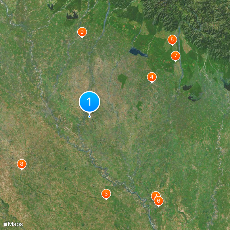
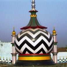
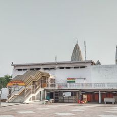
Multiple religious communities live together in the district, with Islam predominant in cities and Hinduism in countryside villages. People speak Hindi, Urdu, and Punjabi in their daily lives.

The district has good connections through telephone code 0595 and postal code 244901 for communications. Visitors should know that the area consists of many scattered villages, and travel between locations can take time.

From the northern areas of the district, visitors can see the mountain ranges of Nainital rising in the distance after heavy rainfall. This rare natural sight offers an unexpected view of the Himalayan region.

The community of curious travelers

AroundUs brings together thousands of curated places, local tips, and hidden gems, enriched daily by 60,000 contributors worldwide.

Start exploring
Capital city
Rampur
Shares border with
Moradabad district, Bareilly district
GPS coordinates
28.80000,79.02000
Latest update
December 20, 2025 15:56
Reviews
Share your experience

No review yet

Discussions
Start a discussion...

No discussion yet

« Rampur district - Administrative district in Uttar Pradesh, India » is provided by Around Us (aroundus.com). Images and texts are derived from Wikimedia project under a Creative Commons license. You are allowed to copy, distribute, and modify copies of this page, under the conditions set by the license, as long as this note is clearly visible.

Discover hidden gems everywhere you go!

From secret cafés to breathtaking viewpoints, skip the crowded tourist spots and find places that match your style. Our app makes it easy with voice search, smart filtering, route optimization, and insider tips from travelers worldwide. Download now for the complete mobile experience.

Around Us App Screenshot

A unique approach to discovering new places

Le Figaro

All the places worth exploring

France Info

A tailor-made excursion in just a few clicks

20 Minutes

Around Us
Travel Guide & Maps
Download

Send to your phone

QR Code
1

Open the camera app on your mobile.

2

Point at the QR code with your camera. A notification will appear.

3

Tap the notification to open the link.