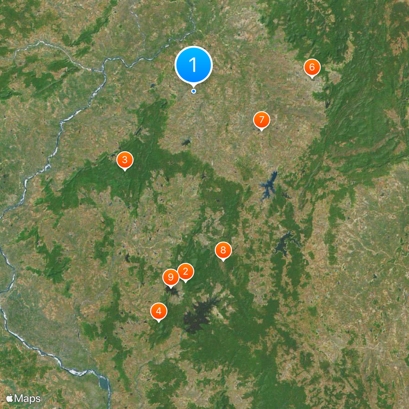
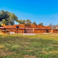
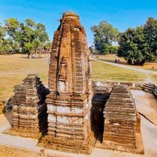
Gondia district, Administrative district in Maharashtra, India
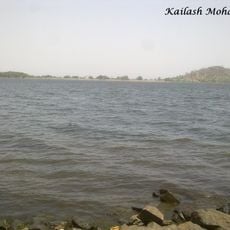
Gondia is an administrative district in Maharashtra that spans a large area divided into several local administrative subdivisions. Rivers flow through the region, supporting agriculture and providing water resources to communities.
This district was created during India's reorganization of states and became part of the Nagpur division. Its development reflects the administrative changes that shaped modern India.
The people here speak Marathi as their main language and practice Hinduism, Buddhism, and Islam side by side. You can see this religious mix reflected in the local festivals and everyday traditions across the towns and villages.
The area experiences hot summers and cool winters with varying temperature conditions throughout the year. The monsoon season brings heavy rainfall that affects roads and agricultural patterns.
The Wainganga River flows through the landscape here and shapes how the land is used and settled. This waterway supports farming livelihoods and creates distinct geographical features that visitors notice when traveling through.
Location: Nagpur division
Capital city: Gondia
Shares border with: Bhandara district
Website: http://gondia.gov.in
GPS coordinates: 21.46139,80.19139
Latest update: December 13, 2025 16:26
Nawegaon National Park
58.8 km
Nagzira Wildlife Sanctuary
32.2 km
Pratapgrah Fort
71.8 km
Nagra Brick Temple, Chandanitola Gondia
4.1 km
Old fort and temples, Lanji
36.8 km
Remains of the temple locally known as Nath Bawa
24 km
Nawegaon Wildlife Sanctuary
52.9 km
Nawegaon Lake
61 km
Katragarh
48.7 km
Gumdoh Tank
14.4 km
Chorkhamāra Tank
31.6 km
Koteshwar Mahadev Temple, Lanji
37.9 km
Walnājhari Talāv
40.7 km
Bodalkasa Tank
20.8 km
Gāngehari Tank
61 km
Nāgjhiriā
28.5 km
Remains of the temple close to the south of the village Ganeshpur
23.8 km
The old remains of two temples immediately outside Padampur to the north & the south of Ganeshpur
23.9 km
Nāya Talao
83.4 km
Khairbandā Tank
12.8 km
Temli Tank
87.9 km
Bordha Tank
86.7 km
Rāwanghāta
26.2 km
Bhimalkasā Tank
38.2 km
Kachāgarl Caves
47.1 km
Sāgar
44.8 km
Ām Talāv
46.1 km
Wāra Tank
27.9 kmVisited this place? Tap the stars to rate it and share your experience / photos with the community! Try now! You can cancel it anytime.
Discover hidden gems everywhere you go!
From secret cafés to breathtaking viewpoints, skip the crowded tourist spots and find places that match your style. Our app makes it easy with voice search, smart filtering, route optimization, and insider tips from travelers worldwide. Download now for the complete mobile experience.
A unique approach to discovering new places❞
— Le Figaro
All the places worth exploring❞
— France Info
A tailor-made excursion in just a few clicks❞
— 20 Minutes