Enable Location

We need your location to show you interesting places around you

Discover nearby places

Find interesting locations and hidden gems around you

Precise directions

Get accurate directions and distances to places

Your location is never shared with other users. It's only used when you tap the location button.

Uttar Dinajpur district

Log in to your account

Start exploring — it's free

Trusted by 61,991 travelers worldwide

Continue with Google
Continue with Apple
or

We will send you a code to connect

By continuing, you accept our Terms and Conditions and our Privacy Policy

Check your inbox

We've sent a pincode in your inbox. Please enter the code below.

Uttar Dinajpur district

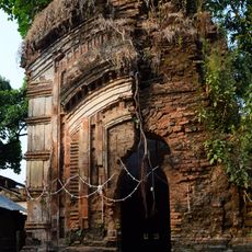
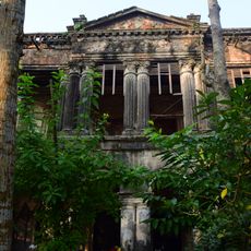
Uttar Dinajpur district, Administrative district in West Bengal, India

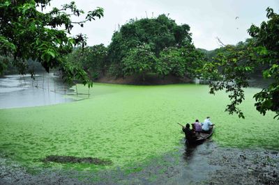
Uttar Dinajpur is an administrative district in West Bengal with predominantly flat terrain and fertile soil that supports widespread farming across the region. The area comprises two administrative subdivisions called Raiganj and Islampur that serve as the main centers.

The district came into being in 1992 when the former West Dinajpur district was split into two separate administrative regions. This division created a new administrative framework for the northern part of West Bengal.

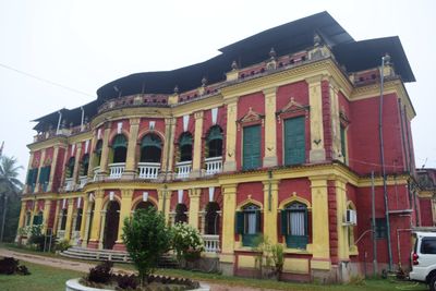
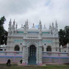
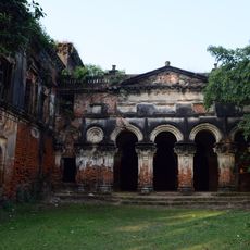
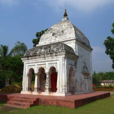
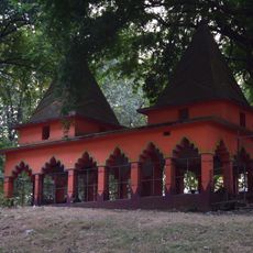
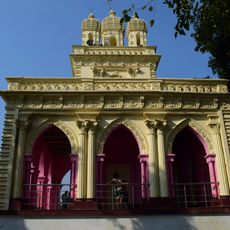
Multiple communities throughout the district express their traditions through local festivals and handcrafted goods that visitors can see year-round. These practices reflect how different groups maintain their ways of life alongside one another in daily routines.

The district is connected by major national highways that link the two administrative subdivisions and surrounding areas. Travelers can move between the centers on well-established road networks that serve regional traffic.

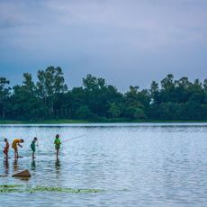
A bird sanctuary called Raiganj Wildlife Sanctuary sits within the district boundaries and hosts many bird species found in the region. This protected area allows visitors to observe local wildlife in their natural habitats away from urban areas.

The community of curious travelers

AroundUs brings together thousands of curated places, local tips, and hidden gems, enriched daily by 60,000 contributors worldwide.

Start exploring
Location
Capital city
Raiganj
Shares border with
Kishanganj district, Dakshin Dinajpur district, Malda district, Darjeeling district, Katihar district, Purnia district, Panchagarh District, Thakurgaon District, Dinajpur District
GPS coordinates
25.62000,88.12000
Latest update
December 14, 2025 18:37
« Uttar Dinajpur district - Administrative district in West Bengal, India » is provided by Around Us (aroundus.com). Images and texts are derived from Wikimedia project under a Creative Commons license. You are allowed to copy, distribute, and modify copies of this page, under the conditions set by the license, as long as this note is clearly visible.

Discover hidden gems everywhere you go!

From secret cafés to breathtaking viewpoints, skip the crowded tourist spots and find places that match your style. Our app makes it easy with voice search, smart filtering, route optimization, and insider tips from travelers worldwide. Download now for the complete mobile experience.

Around Us App Screenshot

A unique approach to discovering new places

Le Figaro

All the places worth exploring

France Info

A tailor-made excursion in just a few clicks

20 Minutes

Around Us
Travel Guide & Maps
Download

Send to your phone

QR Code
1

Open the camera app on your mobile.

2

Point at the QR code with your camera. A notification will appear.

3

Tap the notification to open the link.