Kalna, human settlement in India
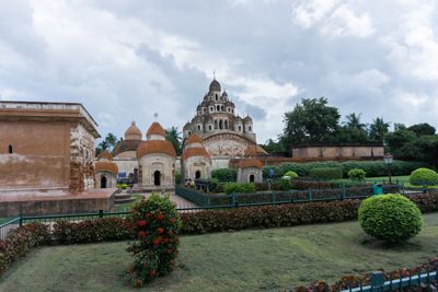
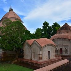
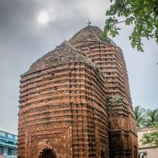
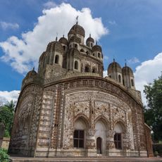
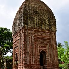
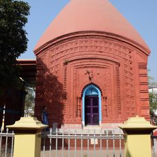
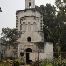
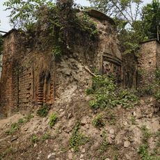
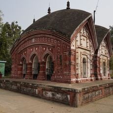
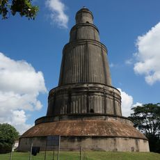
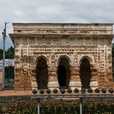
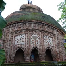
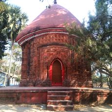
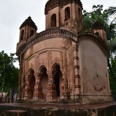
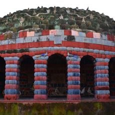
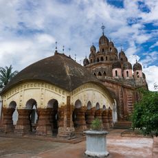
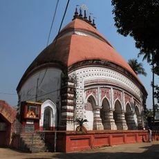
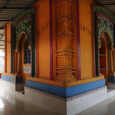
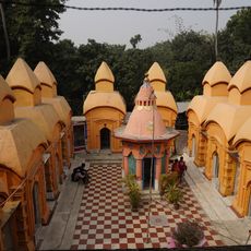
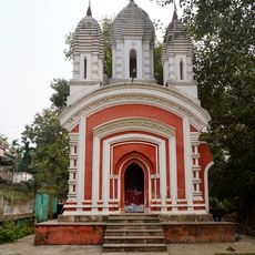
Kalna is a town in West Bengal on the banks of the Bhagirathi river and houses numerous old temples and monuments. The place displays terracotta-adorned structures, including the Krishna Chandra Mandir with 25 steeples and the Nava Kailash with 108 Shiva temples arranged in two circles.
Kalna was first mentioned in the 6th century and was an important city in the Tamralipta kingdom under King Shashanka, who maintained a navy. The temples were built later, with the Nava Kailash constructed in 1809 and the Krishna Chandra Mandir dating from the 18th century.
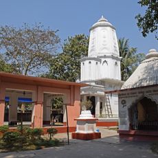
The goddess Ambika, after whom the town takes its name, shapes daily life in Kalna. Festivals like Dol Purnima and Rath Yatra bring the community together and show how religion and celebration set the rhythm of the place.
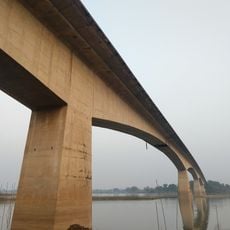
The town is accessible by train, bus, and boat, with Ambika Kalna railway station connected multiple times daily to Howrah. On site, footpaths and rickshaws serve the streets, with the best time to visit between November and February.
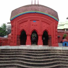
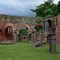
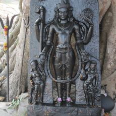
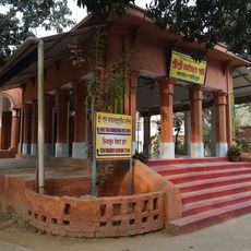
The Siddheshwari Temple is roughly 800 years old and ranks among the region's oldest shrines with a simple, strong structure. An ancient tamarind tree nearby is connected to a meeting between Sri Chaitanya and Nityananda that took place many centuries ago.
The community of curious travelers
AroundUs brings together thousands of curated places, local tips, and hidden gems, enriched daily by 60,000 contributors worldwide.