Log in to your account

AroundUs is a community-driven map of interesting places, built by curious explorers like you. It grows with every review, story, and photo you share.
Connect to save your favorite spots, contribute locations, and create personalized routes.
By continuing, you accept our Terms and Conditions and our Privacy Policy

Balagarh community development block

Add to collection
Map
Suggest a change
Share

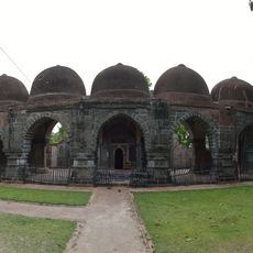
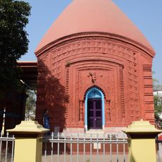
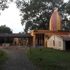
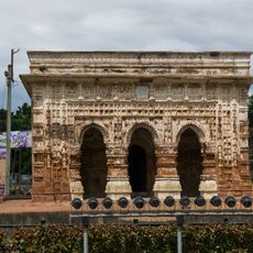
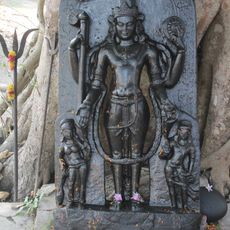
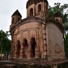
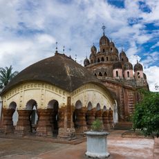
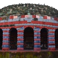
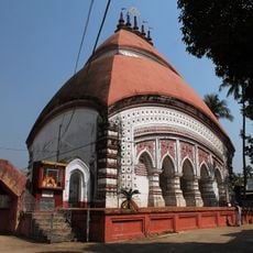
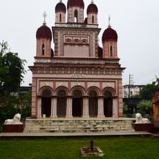
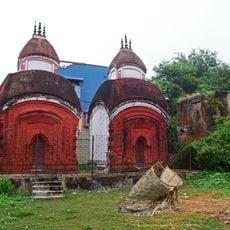
Balagarh community development block, Community development block in Chinsurah Sadar subdivision, India.

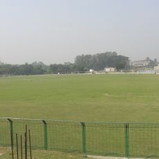
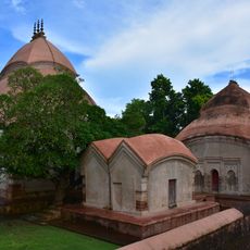
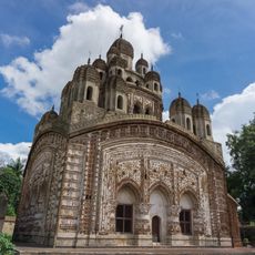
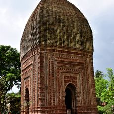
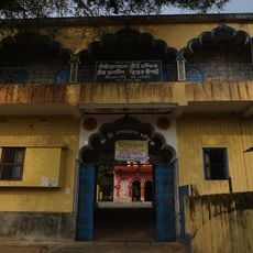
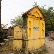
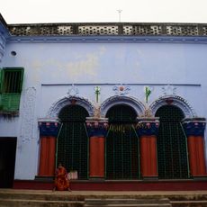
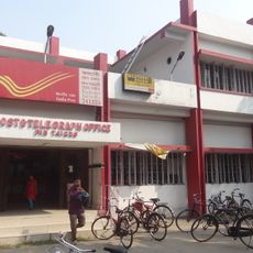
Balagarh community development block is an administrative area in Hooghly district that covers approximately 202 square kilometers within the Chinsurah Sadar subdivision. It comprises multiple villages with educational institutions, primary health centers, and rail and ferry connections serving the local population.

The block was established as part of West Bengal's administrative restructuring to improve rural governance and local services. This reorganization helped strengthen the management and development of surrounding communities.

Local farming communities grow rice, jute, and potatoes using time-honored techniques that shape daily life and the landscape. These agricultural practices form the economic and social backbone that visitors can observe while traveling through the villages.

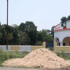
The area is accessible by rail and ferry connections, with basic services available throughout the local villages. Visitors should note that this is a rural region, so services and amenities may be more dispersed than in urban centers.

The area sits approximately 17 meters above sea level and lies near the Hooghly River, which has shaped local transportation patterns and the layout of settlements. This location has influenced how villages developed and how people navigate the region.

Location: Chinsurah Sadar subdivision

Elevation above the sea: 17 m

Shares border with: Santipur community development block, Ranaghat I community development block, Chakdaha community development block, Chinsurah-Mogra community development block, Pandua community development block, Kalna II community development block

GPS coordinates: 23.10944,88.46028

Latest update: December 10, 2025 20:02

Photos
Reviews

Visited this place? Tap the stars to rate it and share your experience / photos with the community! Try now! You can cancel it anytime.

« Balagarh community development block - Community development block in Chinsurah Sadar subdivision, India » is provided by Around Us (aroundus.com). Images and texts are derived from Wikimedia project under a Creative Commons license. You are allowed to copy, distribute, and modify copies of this page, under the conditions set by the license, as long as this note is clearly visible.

Discover hidden gems everywhere you go!

From secret cafés to breathtaking viewpoints, skip the crowded tourist spots and find places that match your style. Our app makes it easy with voice search, smart filtering, route optimization, and insider tips from travelers worldwide. Download now for the complete mobile experience.

Around Us App Screenshot

A unique approach to discovering new places

Le Figaro

All the places worth exploring

France Info

A tailor-made excursion in just a few clicks

20 Minutes