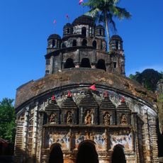
Arambagh community development block, Administrative division in Arambag subdivision, India
Arambagh is an administrative division in western Hooghly district covering around 269 square kilometers. The landscape is shaped by two rivers, Mundeswari and Darakeswar, which run through agricultural lands where farming is the main livelihood.
The block experienced notable population growth in the early 2000s and developed as a center for agricultural processing. This development reflects the modernization of rural infrastructure in West Bengal.
The population incorporates diverse religious groups with 78 percent Hindu residents and 22 percent Muslim residents speaking Bengali as their primary language.
The region has around 215 primary schools and 38 secondary schools for education. Healthcare is provided through multiple centers and clinics spread across the area.
The block is known for its network of around 52 rice mills and 40 sawmills. These facilities process locally grown products and shape the economic activity across the region.
The community of curious travelers
AroundUs brings together thousands of curated places, local tips, and hidden gems, enriched daily by 60,000 contributors worldwide.