Bishnupur community development block, Community development block in Bishnupur subdivision, India.
Bishnupur community development block is an administrative area within Bishnupur subdivision in West Bengal. The region contains multiple villages with primary and secondary schools, local markets, and craft workshops that form the basis of daily life and economic activity.
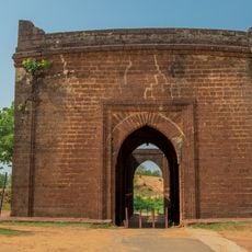
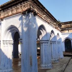
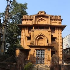
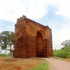
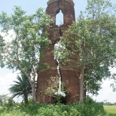
The area fell under control of the Bishnupur Rajas until they transferred their territories to British administration in the early 1760s. This transfer marked a turning point in how the region was governed and organized.
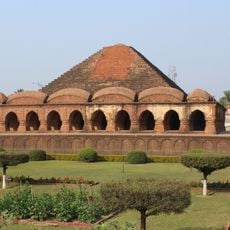
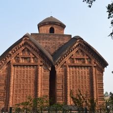
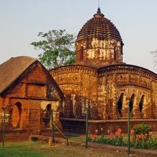
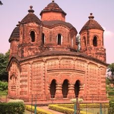
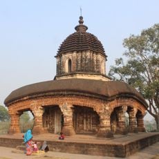
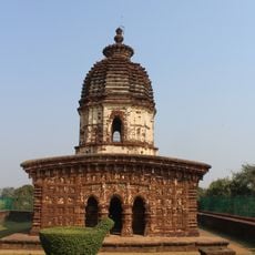
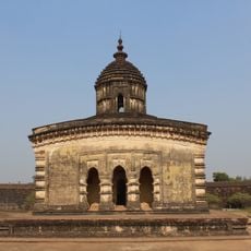
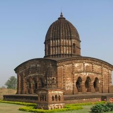
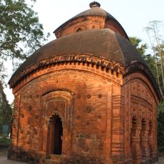
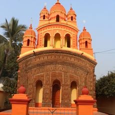
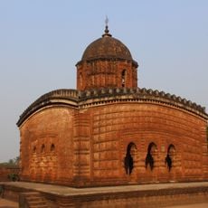
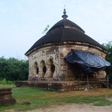
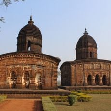
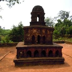
Local artisans create beautiful handwoven Baluchari saris with intricate patterns that reflect generations of craftsmanship. The tradition of terracotta making also remains visible through small workshops where potters shape clay by hand.
The area is rural and is best explored by personal vehicle or public buses that connect villages. Travel is easiest during the dry season when roads are in better condition and accessible to visitors.
Agriculture forms the backbone of the local economy with many residents working as field laborers or farmers in surrounding fields. This agricultural focus shapes the rhythm of daily life and the pattern of local markets throughout the year.
Location: Bishnupur subdivision
Elevation above the sea: 74 m
Shares border with: Onda community development block, Sonamukhi community development block, Patrasayer community development block, Joypur community development block, Garhbeta I community development block
GPS coordinates: 23.08333,87.31667
Latest update: December 11, 2025 18:02
Rasmancha
1.8 km
Keshto Ray Temple, Bishnupur
1.7 km
Radha Madhab Temple
2.8 km
Shyamrai Temple
1.6 km
Sareswar Temple
3.8 km
Malleshwar Temple
528 m
Madan Gopal Temple
905 m
Dalmadal Cannon
2.3 km
Murali Mohan Temple
180 m
Kalachand Temple
2.8 km
Lalji Temple
1.5 km
Radha Gobinda Temple
2.7 km
Saileswar Temple
5.1 km
Patpur Temple
2.3 km
Radha Shyam Temple
1.6 km
Nanda Lal Temple
2.5 km
Radha Binod Temple
1.2 km
Sridhar Temple
1.1 km
Madan Mohan Temple
768 m
Gour Nitai temple
1.8 km
Gate of Old Fort
1.4 km
Durga dalan of Bandopadhyay Debottar Estate
7.9 km
Jore Mandir
2.6 km
Acharya Jogesh Chandra Purakriti Bhaban
2.1 km
Small gateway of fort
1.3 km
Stone chariot
1.3 km
Radha Damodar and Bangshi Gopal temple
7.9 km
Ramsagar semaphore tower
5.7 kmVisited this place? Tap the stars to rate it and share your experience / photos with the community! Try now! You can cancel it anytime.
Discover hidden gems everywhere you go!
From secret cafés to breathtaking viewpoints, skip the crowded tourist spots and find places that match your style. Our app makes it easy with voice search, smart filtering, route optimization, and insider tips from travelers worldwide. Download now for the complete mobile experience.
A unique approach to discovering new places❞
— Le Figaro
All the places worth exploring❞
— France Info
A tailor-made excursion in just a few clicks❞
— 20 Minutes