Log in to your account

AroundUs is a community-driven map of interesting places, built by curious explorers like you. It grows with every review, story, and photo you share.
Connect to save your favorite spots, contribute locations, and create personalized routes.
Continue with Google
Continue with Apple
Continue with X
Continue with Facebook
Continue with email
By continuing, you accept our Terms and Conditions and our Privacy Policy
Create an account

Daspur I community development block

Add to collection
Map
Suggest a change
Share

Daspur I community development block, Community development block in Ghatal subdivision, India.

Daspur I is an administrative block in the Ghatal region that spans a rural area with villages, fields, and waterways. The block provides basic services including schools, a hospital, and health centers for the local population.

The block was established as part of West Bengal's administrative reforms to bring local governance closer to communities. This restructuring helped distribute services like education and healthcare more effectively across rural areas.

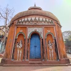
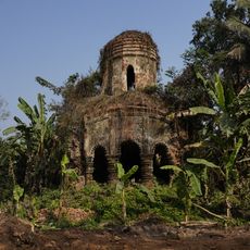
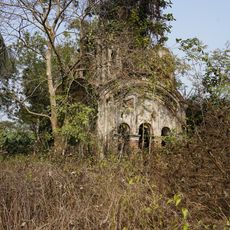
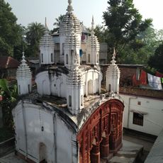
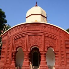
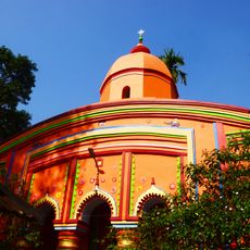
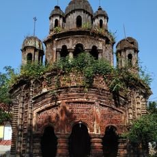
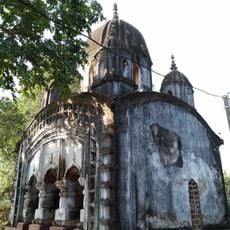
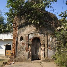
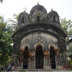
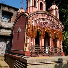
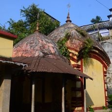
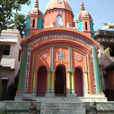
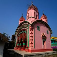
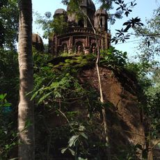
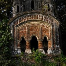
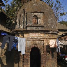
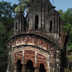
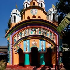
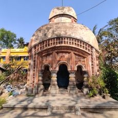
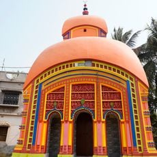
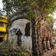
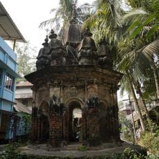
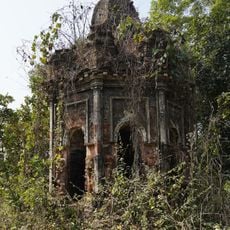
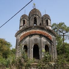
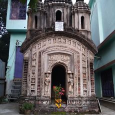
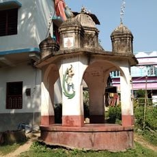
Bengali is the main language you hear in daily life throughout the villages and local markets of the block. The region is home to ancient temples and the Narajole Rajbari palace, which reflect the architectural heritage of the area.

The block is typical of rural areas with villages spread across flat terrain and accessible by local roads and water transport. Visitors should expect basic infrastructure and prepare for simple lodging and dining options.

The area is crisscrossed by numerous ferry services that operate across rivers and waterways, shaping how local people move around. These water transport routes are a vital part of daily life and connect villages that would otherwise be difficult to reach.

Location: Ghatal subdivision

Elevation above the sea: 9 m

Shares border with: Debra community development block, Keshpur community development block, Chandrakona I community development block, Ghatal community development block, Daspur II community development block, Panskura community development block

GPS coordinates: 22.60500,87.72200

Latest update: December 11, 2025 18:06

Photos
Reviews

Visited this place? Tap the stars to rate it and share your experience / photos with the community! Try now! You can cancel it anytime.

« Daspur I community development block - Community development block in Ghatal subdivision, India » is provided by Around Us (aroundus.com). Images and texts are derived from Wikimedia project under a Creative Commons license. You are allowed to copy, distribute, and modify copies of this page, under the conditions set by the license, as long as this note is clearly visible.

Discover hidden gems everywhere you go!

From secret cafés to breathtaking viewpoints, skip the crowded tourist spots and find places that match your style. Our app makes it easy with voice search, smart filtering, route optimization, and insider tips from travelers worldwide. Download now for the complete mobile experience.

Around Us App Screenshot

A unique approach to discovering new places

Le Figaro

All the places worth exploring

France Info

A tailor-made excursion in just a few clicks

20 Minutes