Chanditala I community development block

Log in to your account

AroundUs is a community-driven map of interesting places, built by curious explorers like you. It grows with every review, story, and photo you share.
Connect to save your favorite spots, contribute locations, and create personalized routes.
By continuing, you accept our Terms and Conditions and our Privacy Policy

Chanditala I community development block

Add to collection
Map
Suggest a change
Share

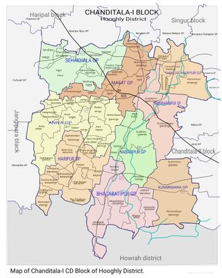
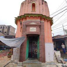
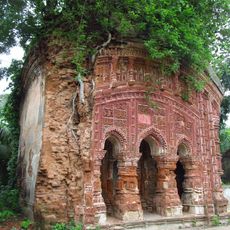
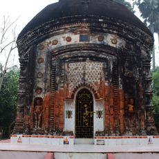
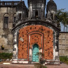
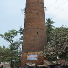
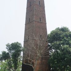
Chanditala I community development block, Administrative block in Srirampore subdivision, India.

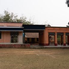
Chanditala I is an administrative area in Srirampore subdivision that covers flat alluvial plains dotted with numerous water bodies. These waterways and ponds define the landscape and influence how land is used for agriculture and daily activities.

This area was created as part of efforts to strengthen rural administration and local governance in West Bengal. The establishment of such administrative divisions helped bring services and management closer to the communities they serve.

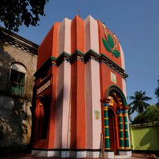
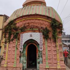
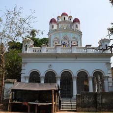
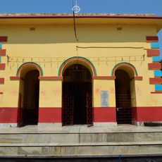
Bengali is the main language spoken here, and the local population follows different faiths that shape daily customs and celebrations. You will notice this diversity reflected in community gatherings and the way people honor their traditions together.

The area becomes very wet during monsoon season and roads can flood, so plan your visit accordingly. Local guidance is helpful for navigating beyond main roads, especially if you want to explore rural settlements and farmland.

The landscape features natural depressions that fill with monsoon water and channel it through small waterways across farmland. This natural system of water collection and flow has shaped how farming and daily life work in this flat terrain.

Location: Srirampore subdivision

Shares border with: Chanditala II community development block, Singur community development block, Haripal community development block, Jangipara community development block, Domjur community development block, Jagatballavpur community development block

GPS coordinates: 22.69995,88.18048

Latest update: December 11, 2025 18:05

Photos
Reviews

Visited this place? Tap the stars to rate it and share your experience / photos with the community! Try now! You can cancel it anytime.

« Chanditala I community development block - Administrative block in Srirampore subdivision, India » is provided by Around Us (aroundus.com). Images and texts are derived from Wikimedia project under a Creative Commons license. You are allowed to copy, distribute, and modify copies of this page, under the conditions set by the license, as long as this note is clearly visible.

Discover hidden gems everywhere you go!

From secret cafés to breathtaking viewpoints, skip the crowded tourist spots and find places that match your style. Our app makes it easy with voice search, smart filtering, route optimization, and insider tips from travelers worldwide. Download now for the complete mobile experience.

Around Us App Screenshot

A unique approach to discovering new places

Le Figaro

All the places worth exploring

France Info

A tailor-made excursion in just a few clicks

20 Minutes