Enable Location

We need your location to show you interesting places around you

Discover nearby places

Find interesting locations and hidden gems around you

Precise directions

Get accurate directions and distances to places

Your location is never shared with other users. It's only used when you tap the location button.

Log in to your account

Start exploring — it's free

Trusted by 62,012 travelers worldwide

Continue with Google
Continue with Apple
or

We will send you a code to connect

By continuing, you accept our Terms and Conditions and our Privacy Policy

Check your inbox

We've sent a pincode in your inbox. Please enter the code below.

Chandrakona II community development block

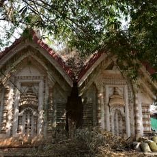
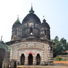
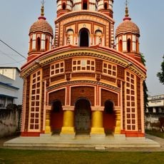
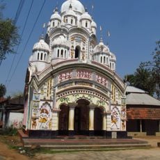
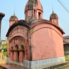
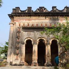
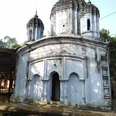
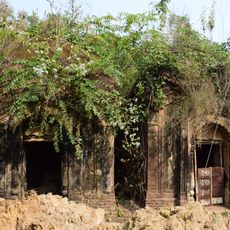
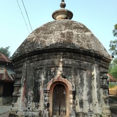
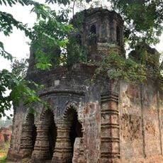
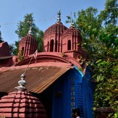
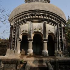
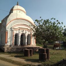
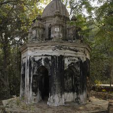
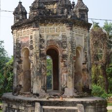
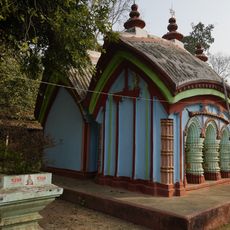
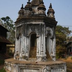
Chandrakona II community development block, Community development block in Ghatal subdivision, India

Chandrakona II is a community development block in Ghatal subdivision with low-lying land crossed by rivers and fed by fertile alluvial soil. The area contains 86 village councils managing 122 inhabited villages across the region.

The block underwent major land reforms starting in 1977 that fundamentally changed property ownership and farming methods across the region. These shifts influenced how people gained access to land and shaped rural livelihoods for generations.

The population of 123,269 residents includes 78.22 percent Hindu practitioners and 20.64 percent Muslim followers, with Bengali serving as the primary language.

Medical services are provided through rural hospitals and primary health centers spread across the villages in the area. This is a rural administrative region, so basic infrastructure follows the patterns common in countryside communities.

Most of the workforce here depends on farming, with rice varieties like Aman and Boro along with potatoes being the main crops grown in the rich soil. This agricultural focus shapes the daily pace and seasonal rhythms of life in the area.

The community of curious travelers

AroundUs brings together thousands of curated places, local tips, and hidden gems, enriched daily by 60,000 contributors worldwide.

Start exploring
Elevation above the sea
56 m
Shares border with
Chandrakona I community development block, Keshpur community development block, Garhbeta III community development block, Garhbeta I community development block
GPS coordinates
22.73000,87.52000
Latest update
December 12, 2025 12:05
« Chandrakona II community development block - Community development block in Ghatal subdivision, India » is provided by Around Us (aroundus.com). Images and texts are derived from Wikimedia project under a Creative Commons license. You are allowed to copy, distribute, and modify copies of this page, under the conditions set by the license, as long as this note is clearly visible.

Discover hidden gems everywhere you go!

From secret cafés to breathtaking viewpoints, skip the crowded tourist spots and find places that match your style. Our app makes it easy with voice search, smart filtering, route optimization, and insider tips from travelers worldwide. Download now for the complete mobile experience.

Around Us App Screenshot

A unique approach to discovering new places

Le Figaro

All the places worth exploring

France Info

A tailor-made excursion in just a few clicks

20 Minutes

Around Us
Travel Guide & Maps
Download

Send to your phone

QR Code
1

Open the camera app on your mobile.

2

Point at the QR code with your camera. A notification will appear.

3

Tap the notification to open the link.