Enable Location

We need your location to show you interesting places around you

Discover nearby places

Find interesting locations and hidden gems around you

Precise directions

Get accurate directions and distances to places

Your location is never shared with other users. It's only used when you tap the location button.

Log in to your account

Start exploring — it's free

Trusted by 62,014 travelers worldwide

Continue with Google
Continue with Apple
or

We will send you a code to connect

By continuing, you accept our Terms and Conditions and our Privacy Policy

Check your inbox

We've sent a pincode in your inbox. Please enter the code below.

Chandrakona I community development block

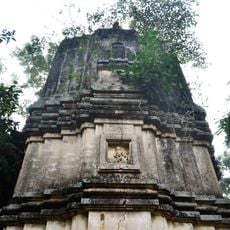
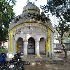
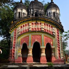
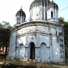
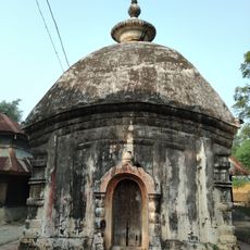
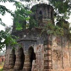
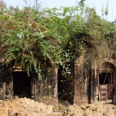
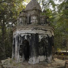
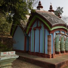
Chandrakona I community development block, Community development block in Ghatal subdivision, India.

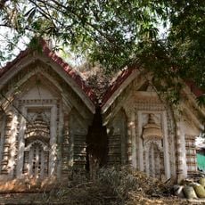
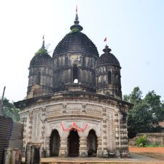
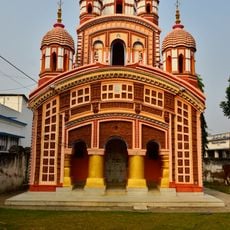
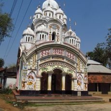
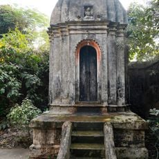
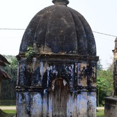
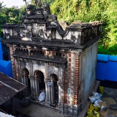
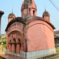
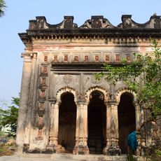
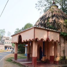
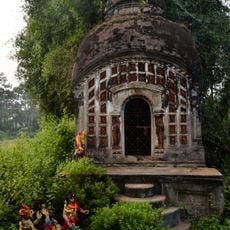
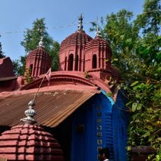
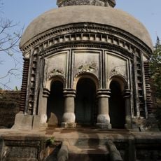
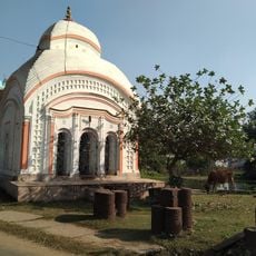
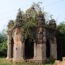
Chandrakona I is a community development block in Ghatal subdivision, West Bengal, covering a rural area with villages and agricultural settlements spread across the landscape. The block serves as an administrative unit organizing multiple local communities and their resources.

This block was established as an administrative unit to serve and organize rural communities in West Bengal. The region experienced significant population growth over the decades, prompting development of local services and institutions.

Bengali serves as the primary language for 96.71 percent of inhabitants, while Santali represents the communication medium for 3.19 percent of the population.

The block has schools, a rural hospital, and primary health centers serving local residents. Visitors should inquire about local transport options and road conditions beforehand, as many areas are rural and less developed.

The block borders seven different administrative blocks in the region, making it a junction point between multiple districts. This central location gives it significance as a connecting zone in the local administrative network.

The community of curious travelers

AroundUs brings together thousands of curated places, local tips, and hidden gems, enriched daily by 60,000 contributors worldwide.

Start exploring
Elevation above the sea
16 m
Shares border with
Ghatal community development block, Daspur I community development block, Keshpur community development block, Chandrakona II community development block, Garhbeta I community development block, Goghat II community development block, Goghat I community development block
GPS coordinates
22.73000,87.52000
Latest update
December 12, 2025 14:40
« Chandrakona I community development block - Community development block in Ghatal subdivision, India » is provided by Around Us (aroundus.com). Images and texts are derived from Wikimedia project under a Creative Commons license. You are allowed to copy, distribute, and modify copies of this page, under the conditions set by the license, as long as this note is clearly visible.

Discover hidden gems everywhere you go!

From secret cafés to breathtaking viewpoints, skip the crowded tourist spots and find places that match your style. Our app makes it easy with voice search, smart filtering, route optimization, and insider tips from travelers worldwide. Download now for the complete mobile experience.

Around Us App Screenshot

A unique approach to discovering new places

Le Figaro

All the places worth exploring

France Info

A tailor-made excursion in just a few clicks

20 Minutes

Around Us
Travel Guide & Maps
Download

Send to your phone

QR Code
1

Open the camera app on your mobile.

2

Point at the QR code with your camera. A notification will appear.

3

Tap the notification to open the link.