Log in to your account

AroundUs is a community-driven map of interesting places, built by curious explorers like you. It grows with every review, story, and photo you share.
Connect to save your favorite spots, contribute locations, and create personalized routes.
Continue with Google
Continue with Apple
Continue with X
Continue with Facebook
Continue with email
By continuing, you accept our Terms and Conditions and our Privacy Policy
Create an account

Ghatal community development block

Add to collection
Map
Suggest a change
Share

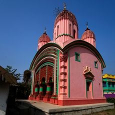
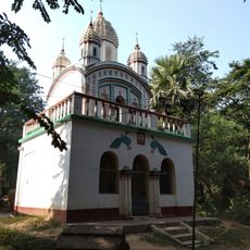
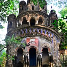
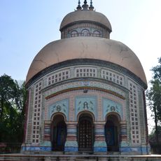
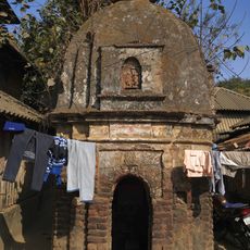
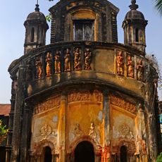
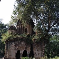
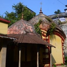
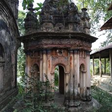
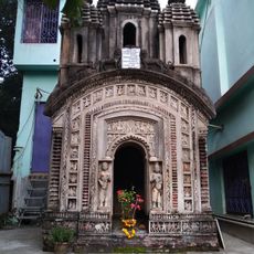
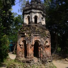
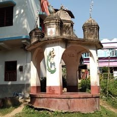
Ghatal community development block, Community development block in Ghatal subdivision, India

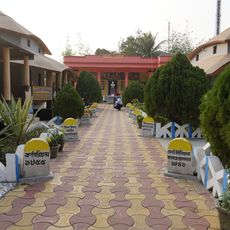
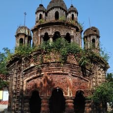
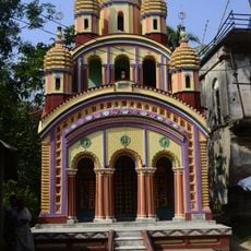
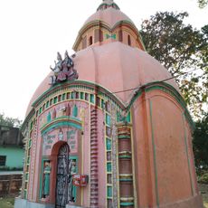
Ghatal community development block is an administrative division in Paschim Medinipur district that covers a rural area with many villages and towns. The region has numerous primary schools, health facilities, and agricultural infrastructure that support farming and local commerce.

The block saw significant population growth during the early decades of the 21st century, bringing changes to local services and infrastructure. This expansion reflects broader transformations happening across rural West Bengal during this period.

Bengali is the everyday language here, though you will also hear Santali spoken among some residents. This mix of languages shapes how people communicate and interact in villages and towns throughout the block.

This is a rural administrative area spread across villages and towns, best explored with local transportation. Facilities are designed for the local farming population, so visitors should have practical expectations about what is available in the region.

The scholar Ishwar Chandra Vidyasagar was born in the village of Birsingha within this block, a historical connection that often goes unnoticed by visitors. This link to an important educational reformer adds a layer of historical importance to the area.

Location: Ghatal subdivision

Elevation above the sea: 16 m

Shares border with: Goghat I community development block, Arambagh community development block, Khanakul I community development block, Khanakul II community development block, Daspur I community development block, Daspur II community development block, Chandrakona I community development block

GPS coordinates: 22.66667,87.71667

Latest update: December 12, 2025 08:00

Photos
Reviews

Visited this place? Tap the stars to rate it and share your experience / photos with the community! Try now! You can cancel it anytime.

« Ghatal community development block - Community development block in Ghatal subdivision, India » is provided by Around Us (aroundus.com). Images and texts are derived from Wikimedia project under a Creative Commons license. You are allowed to copy, distribute, and modify copies of this page, under the conditions set by the license, as long as this note is clearly visible.

Discover hidden gems everywhere you go!

From secret cafés to breathtaking viewpoints, skip the crowded tourist spots and find places that match your style. Our app makes it easy with voice search, smart filtering, route optimization, and insider tips from travelers worldwide. Download now for the complete mobile experience.

Around Us App Screenshot

A unique approach to discovering new places

Le Figaro

All the places worth exploring

France Info

A tailor-made excursion in just a few clicks

20 Minutes