Habra I community development block, Administrative block in Barasat Sadar subdivision, India.
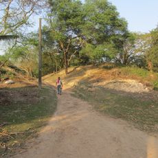
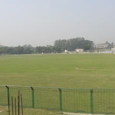
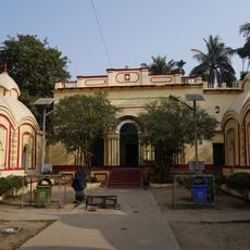
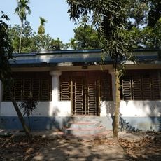
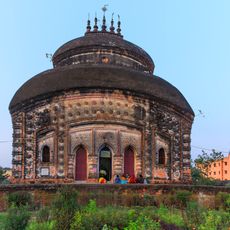
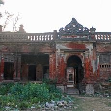
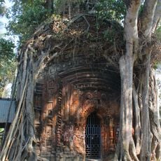
Habra I is a community development block in the Barasat Sadar subdivision of the North Twenty Four Parganas district in West Bengal, India. It groups together several villages under a single local administrative unit, covering a rural area where farming is the main activity.
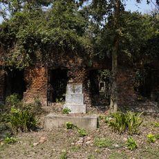
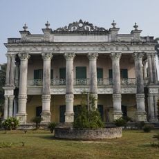
The area is part of a region that took shape during the colonial period, when administrative boundaries were drawn across Bengal. After Indian independence in 1947, community development blocks were set up across the country to give rural areas a formal local structure.
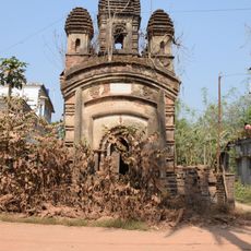
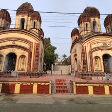
Bengali is the everyday language spoken across the villages, heard in markets, homes, and gathering places. Local festivals tied to the agricultural calendar bring people together at different times of the year.
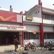
The block lies close to the town of Habra, which can be reached from Kolkata by train and serves as a starting point for the surrounding villages. Getting around within the block is easiest with a local vehicle, as public transport between smaller villages can be limited.
Rice is grown here in three seasonal cycles, meaning farmers can harvest at different points across the year rather than just once. This pattern, common in the Bengal delta, shapes the rhythm of village life and the local economy throughout the year.
The community of curious travelers
AroundUs brings together thousands of curated places, local tips, and hidden gems, enriched daily by 60,000 contributors worldwide.