Log in to your account

AroundUs is a community-driven map of interesting places, built by curious explorers like you. It grows with every review, story, and photo you share.
Connect to save your favorite spots, contribute locations, and create personalized routes.
Continue with Google
Continue with Apple
Continue with X
Continue with Facebook
Continue with email
By continuing, you accept our Terms and Conditions and our Privacy Policy
Create an account

Goghat II community development block

Add to collection
Map
Suggest a change
Share

Goghat II community development block, Community development block in Arambag subdivision, India

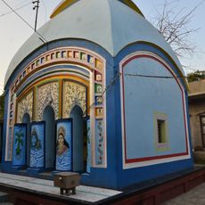
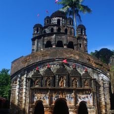
Goghat II is an administrative area in West Bengal spanning fertile agricultural land and managed through nine village councils known as gram panchayats. The main administrative center is located in Kamarpukur, serving as the hub for essential services to multiple villages in this zone.

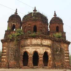
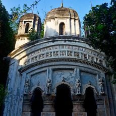
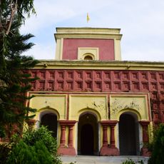
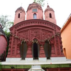
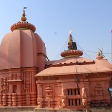
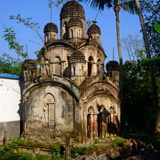
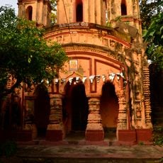
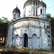
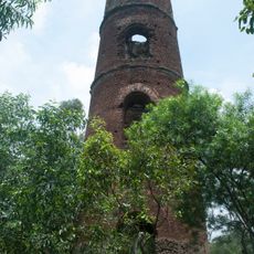
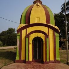
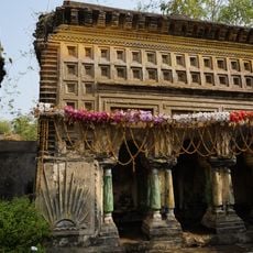
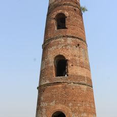
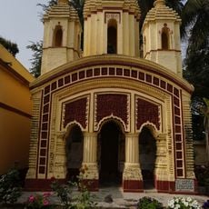
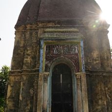
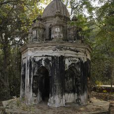
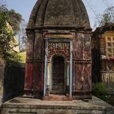
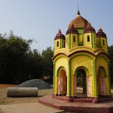
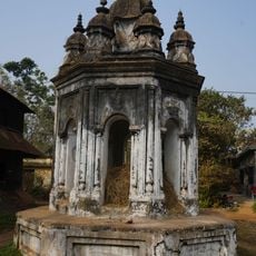
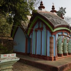
The ruins of an Afghan fort at Garh Mandaran are found here, gaining literary recognition in Bankim Chandra Chattopadhyay's novel Durgeshnandini. This structure reflects the region's diverse past and its importance in Bengal's cultural memory.

Bengali is the language spoken by most people living here, while Santali is used in certain communities within the block. This linguistic diversity shapes daily life and the local identity across the region.

Administrative services are accessed through the nine village councils, which serve as the first point of contact for local matters. Visitors should use Kamarpukur as the reference point to reach official services or obtain information.

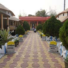
The Satberia Chandramoni Eco Tourism Park was developed on formerly barren land and features traditional huts alongside community spaces. This green space demonstrates local efforts to create new areas for both visitors and residents to gather.

Location: Arambag subdivision

Elevation above the sea: 42 m

Shares border with: Goghat I community development block, Chandrakona I community development block, Garhbeta I community development block, Joypur community development block, Kotulpur community development block, Indas community development block, Raina II community development block

GPS coordinates: 22.90520,87.64897

Latest update: December 12, 2025 08:01

Photos
Reviews

Visited this place? Tap the stars to rate it and share your experience / photos with the community! Try now! You can cancel it anytime.

« Goghat II community development block - Community development block in Arambag subdivision, India » is provided by Around Us (aroundus.com). Images and texts are derived from Wikimedia project under a Creative Commons license. You are allowed to copy, distribute, and modify copies of this page, under the conditions set by the license, as long as this note is clearly visible.

Discover hidden gems everywhere you go!

From secret cafés to breathtaking viewpoints, skip the crowded tourist spots and find places that match your style. Our app makes it easy with voice search, smart filtering, route optimization, and insider tips from travelers worldwide. Download now for the complete mobile experience.

Around Us App Screenshot

A unique approach to discovering new places

Le Figaro

All the places worth exploring

France Info

A tailor-made excursion in just a few clicks

20 Minutes