Log in to your account

AroundUs is a community-driven map of interesting places, built by curious explorers like you. It grows with every review, story, and photo you share.
Connect to save your favorite spots, contribute locations, and create personalized routes.
Continue with Google
Continue with Apple
Continue with X
Continue with Facebook
Continue with email
By continuing, you accept our Terms and Conditions and our Privacy Policy
Create an account

Goghat I community development block

Add to collection
Map
Suggest a change
Share

Goghat I community development block, Community development block in Arambag subdivision, West Bengal.

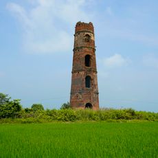
Goghat I is an administrative development block in the Arambag subdivision of Hooghly district in West Bengal. The area encompasses approximately one hundred inhabited villages spread across around 186 square kilometers.

The region evolved from basic agricultural settlements into an organized administrative block with structured governance systems. This transformation led to the establishment of panchayat structures and local gram councils that manage community affairs.

The local population speaks Bengali and follows different faiths that shape daily customs and seasonal celebrations throughout the year. This diversity is visible in the streets and public spaces where various traditions coexist naturally.

The block operates a network of primary, middle, and higher secondary schools serving thousands of students across the region. Access to the villages is by local roads, and visitors should expect rural conditions with limited modern amenities.

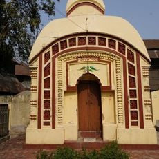
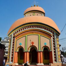
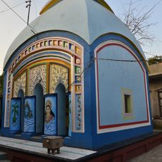
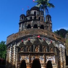
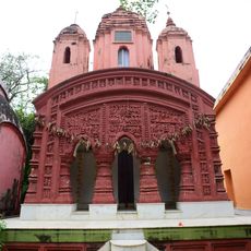
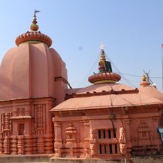
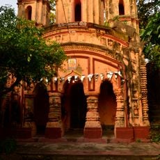
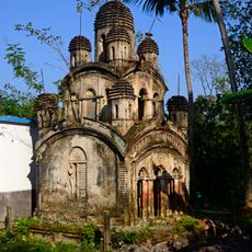
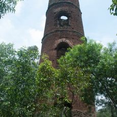
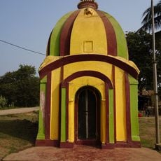
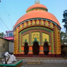
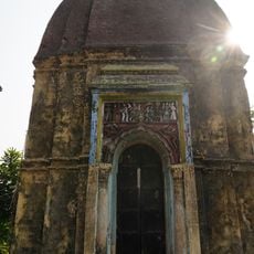
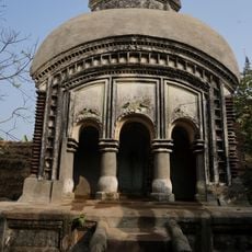
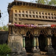
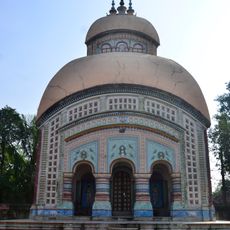
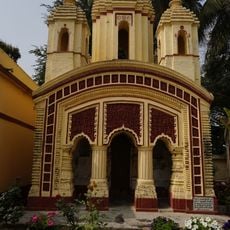
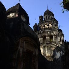
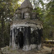
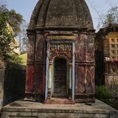
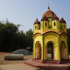
In the village of Bali Dewanganj stands an old Shiva-Durga temple decorated with intricate terracotta ornaments from the 19th century. These handcrafted embellishments reflect traditional artisan skills passed down through local families.

Location: Arambag subdivision

Elevation above the sea: 16 m

Shares border with: Raina II community development block, Arambagh community development block, Ghatal community development block, Chandrakona I community development block, Goghat II community development block

GPS coordinates: 22.87524,87.70374

Latest update: December 12, 2025 07:56

Photos
Reviews

Visited this place? Tap the stars to rate it and share your experience / photos with the community! Try now! You can cancel it anytime.

« Goghat I community development block - Community development block in Arambag subdivision, West Bengal » is provided by Around Us (aroundus.com). Images and texts are derived from Wikimedia project under a Creative Commons license. You are allowed to copy, distribute, and modify copies of this page, under the conditions set by the license, as long as this note is clearly visible.

Discover hidden gems everywhere you go!

From secret cafés to breathtaking viewpoints, skip the crowded tourist spots and find places that match your style. Our app makes it easy with voice search, smart filtering, route optimization, and insider tips from travelers worldwide. Download now for the complete mobile experience.

Around Us App Screenshot

A unique approach to discovering new places

Le Figaro

All the places worth exploring

France Info

A tailor-made excursion in just a few clicks

20 Minutes