Enable Location

We need your location to show you interesting places around you

Discover nearby places

Find interesting locations and hidden gems around you

Precise directions

Get accurate directions and distances to places

Your location is never shared with other users. It's only used when you tap the location button.

Log in to your account

Start exploring — it's free

Trusted by 62,574 travelers worldwide

Continue with Google
Continue with Apple
or

We will send you a code to connect

By continuing, you accept our Terms and Conditions and our Privacy Policy

Check your inbox

We've sent a pincode in your inbox. Please enter the code below.

Haripal community development block

Haripal community development block, Administrative region in Chandannagar subdivision, India.

Haripal is an administrative block in Chandannagar subdivision in West Bengal, India. The region consists of many villages spread across the district, managed through local governance structures and centered around farming and rural livelihoods.

The region was a site of the 1946 Tebhaga movement, which sought to improve land rights for farming families. This movement left a lasting mark on the local understanding of rural history and worker rights.

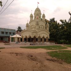
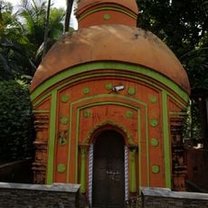
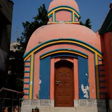
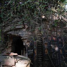
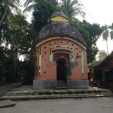
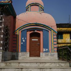
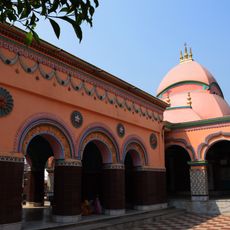
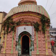
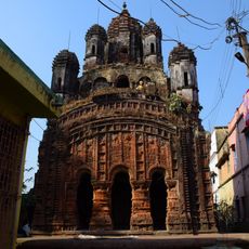
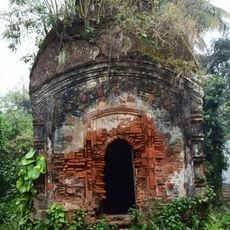
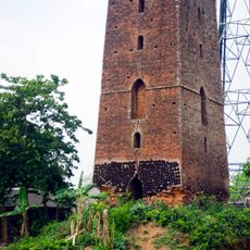
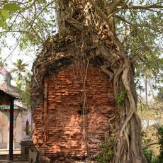
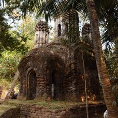
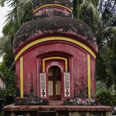
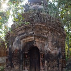
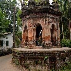
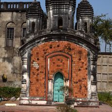
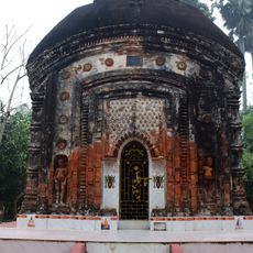
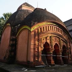
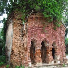
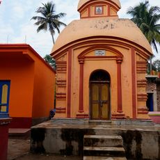
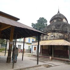
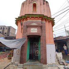
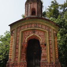
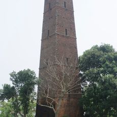
The area contains multiple religious structures, including the Dwarika Chandi temple from 1126 and the Radha-Govinda temple constructed in 1654.

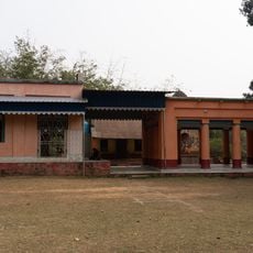
A hospital with beds and several health centers provide medical care for residents across the block. Regular bus services connect the villages to nearby towns and market areas for trade and supplies.

Large areas of land are dedicated to fish farming, which supplements local food production alongside rice and potato cultivation. This aquaculture activity shapes the landscape and supports the regional economy in a notable way.

The community of curious travelers

AroundUs brings together thousands of curated places, local tips, and hidden gems, enriched daily by 60,000 contributors worldwide.

Start exploring
Elevation above the sea
16 m
Shares border with
Polba-Dadpur community development block, Singur community development block, Chanditala I community development block, Jangipara community development block, Tarakeswar community development block, Dhaniakhali community development block
GPS coordinates
22.83333,88.11667
Latest update
December 10, 2025 20:07
« Haripal community development block - Administrative region in Chandannagar subdivision, India » is provided by Around Us (aroundus.com). Images and texts are derived from Wikimedia project under a Creative Commons license. You are allowed to copy, distribute, and modify copies of this page, under the conditions set by the license, as long as this note is clearly visible.

Discover hidden gems everywhere you go!

From secret cafés to breathtaking viewpoints, skip the crowded tourist spots and find places that match your style. Our app makes it easy with voice search, smart filtering, route optimization, and insider tips from travelers worldwide. Download now for the complete mobile experience.

Around Us App Screenshot

A unique approach to discovering new places

Le Figaro

All the places worth exploring

France Info

A tailor-made excursion in just a few clicks

20 Minutes

Around Us
Travel Guide & Maps
Download

Send to your phone

QR Code
1

Open the camera app on your mobile.

2

Point at the QR code with your camera. A notification will appear.

3

Tap the notification to open the link.