Enable Location

We need your location to show you interesting places around you

Discover nearby places

Find interesting locations and hidden gems around you

Precise directions

Get accurate directions and distances to places

Your location is never shared with other users. It's only used when you tap the location button.

Log in to your account

Start exploring — it's free

Trusted by 68,078 travelers worldwide

Continue with Google
Continue with Apple
or

We will send you a code to connect

By continuing, you accept our Terms and Conditions and our Privacy Policy

Check your inbox

We've sent a pincode in your inbox. Please enter the code below.

Jhargram community development block
Discussion Reviews Photo
3.8k Popularity

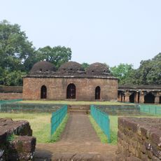
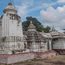
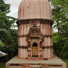
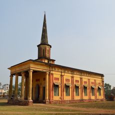
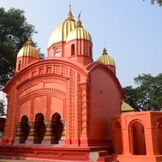
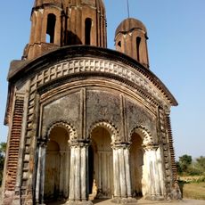
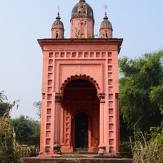
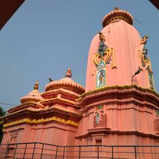
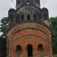
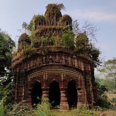
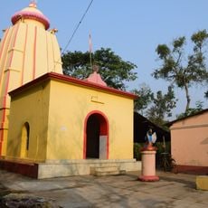
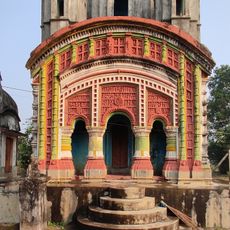
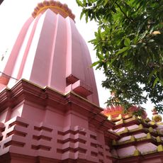
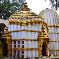
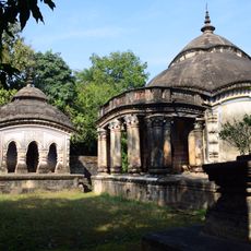
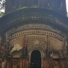
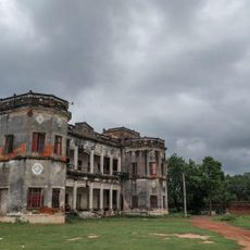
Jhargram community development block, Administrative block in Jhargram subdivision, India

Jhargram community development block is an administrative division in the Jhargram subdivision of West Bengal. The area is characterized by villages and farmland where residents engage in agriculture and local trades.

The block was established as part of West Bengal's administrative framework and grew over time through local needs and state development initiatives. Since 2016, new programs have been introduced to improve infrastructure and services for communities.

The population of 170,097 residents communicates primarily in Bengali and Santali languages, with a diverse mix of Hindu, Islamic, and tribal religious practices.

The block has multiple schools and health centers that serve the local population with basic services. The best way to explore the region is from village centers, where you can find information about local activities and conditions.

The region is dominated by laterite soil that shapes how farmers cultivate rice and potatoes under challenging conditions. These soils require special farming techniques that local farmers have refined over generations.

The community of curious travelers

AroundUs brings together thousands of curated places, local tips, and hidden gems, enriched daily by 60,000 contributors worldwide.

Start exploring
Elevation above the sea
82 m
Shares border with
Jamboni community development block, Binpur I community development block, Midnapore Sadar community development block, Kharagpur I community development block, Sankrail community development block, Gopiballavpur II community development block
GPS coordinates
22.45000,86.98000
Latest update
December 11, 2025 18:06
Reviews
Share your experience

No review yet

Discussions
Start a discussion...

No discussion yet

« Jhargram community development block - Administrative block in Jhargram subdivision, India » is provided by Around Us (aroundus.com). Images and texts are derived from Wikimedia project under a Creative Commons license. You are allowed to copy, distribute, and modify copies of this page, under the conditions set by the license, as long as this note is clearly visible.

Discover hidden gems everywhere you go!

From secret cafés to breathtaking viewpoints, skip the crowded tourist spots and find places that match your style. Our app makes it easy with voice search, smart filtering, route optimization, and insider tips from travelers worldwide. Download now for the complete mobile experience.

Around Us App Screenshot

A unique approach to discovering new places

Le Figaro

All the places worth exploring

France Info

A tailor-made excursion in just a few clicks

20 Minutes

Around Us
Travel Guide & Maps
Download

Send to your phone

QR Code
1

Open the camera app on your mobile.

2

Point at the QR code with your camera. A notification will appear.

3

Tap the notification to open the link.