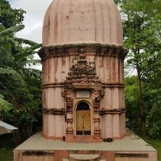
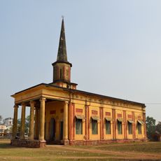
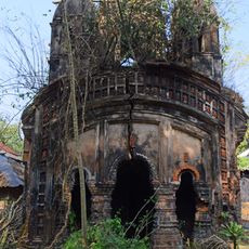
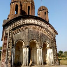
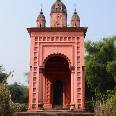
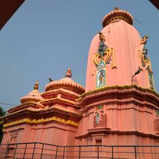
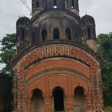
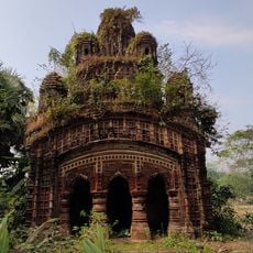
Kharagpur I community development block, Administrative block in Kharagpur subdivision, India
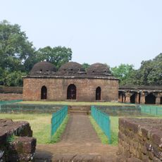
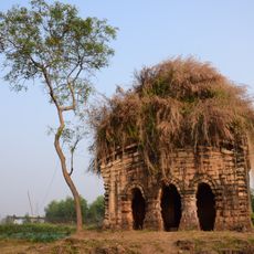
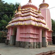
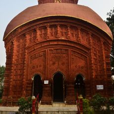
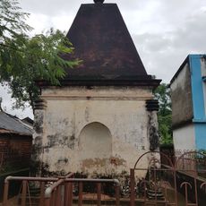
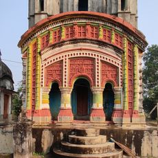
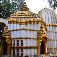
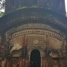
Kharagpur I community development block is an administrative unit in West Bengal encompassing numerous villages and settlements across a broad landscape. The region sits at low elevation on relatively flat terrain and is home to approximately 258,000 residents with diverse economic and social structures.
The block was created as part of India's decentralization efforts following independence, when new administrative structures were established to support rural development. It evolved into an important unit of local governance serving the region.
Several languages are spoken and used daily throughout the block, including Bengali, Telugu, Hindi, and Santali. This linguistic diversity shapes how communities interact and share their daily lives.
The area has an established network of schools at various levels supporting local communities. Visitors should know this is a large, decentralized area, so having good orientation and local guidance is helpful when exploring.
The block shows notable differences in literacy rates between men and women, revealing deeper questions about educational access and opportunity in the region. This disparity reflects in everyday differences in how resources and possibilities are distributed among the population.
Location: Kharagpur subdivision
Elevation above the sea: 62 m
Shares border with: Midnapore Sadar community development block, Kharagpur II community development block, Narayangarh community development block, Sankrail community development block, Jhargram community development block, Keshiari community development block
GPS coordinates: 22.30880,87.22784
Latest update: December 10, 2025 20:10
Kurumbera Fort
24.8 km
Nehru Museum of Science and Technology
9.1 km
Medinipur Baptist Church
17.1 km
Rameshwar temple
25.4 km
Sitala temple
22.7 km
St. John's Church
15.6 km
Lakshmi Janardan temple
33.4 km
Dharmaraj temple
22.3 km
Shyamsundar temple
26.4 km
Mahamaya temple
25.7 km
Dakshinakali temple
6.7 km
Tomb of John Pierce
14.3 km
Radha Krishna temple
22.5 km
Dandeshwar temple
25.7 km
Navratna Temple Complex
22.5 km
Lakshmi Varaha temple
31.8 km
Raghunath temple of Bhattacharya family
32 km
Fort ruins of Rani Shiromani
26.4 km
Raghunath temple of Jana family
32.6 km
Kashishwar Shiva temple
20.8 km
Sarbamangala temple
20.8 km
Sitraramjiu temple
31.8 km
Ram Sita temple of Pati family
22.4 km
Jagannath temple
21.2 km
Dharmaraj temple
32.1 km
Jogmaya temple
25.7 km
Nandeshwar temple
6.5 km
Temples of Bandyopadhyay Family
22.9 kmVisited this place? Tap the stars to rate it and share your experience / photos with the community! Try now! You can cancel it anytime.
Discover hidden gems everywhere you go!
From secret cafés to breathtaking viewpoints, skip the crowded tourist spots and find places that match your style. Our app makes it easy with voice search, smart filtering, route optimization, and insider tips from travelers worldwide. Download now for the complete mobile experience.
A unique approach to discovering new places❞
— Le Figaro
All the places worth exploring❞
— France Info
A tailor-made excursion in just a few clicks❞
— 20 Minutes