Joypur community development block, Administrative division in Bishnupur subdivision, India
Joypur is an administrative block set across the flat plains of eastern Bankura district, comprising villages and fields spread over a large area. It contains several medical facilities, including a primary health center serving the entire block and its residents.
The area came under British administrative control in 1760, ending centuries of rule by the Hindu Rajas of Bishnupur before that. This transition shaped the governance structures and development patterns that remain visible in the region today.
Weavers here produce traditional Baluchari saris with intricate patterns worn at family celebrations and special occasions. Potters also craft the distinctive reddish Bankura horses, small animal figurines that have attracted visitors for generations.
The block is best accessed by local buses or private vehicles, with health centers offering basic medical services to visitors and residents alike. The driest months provide better road conditions for traveling through the area.
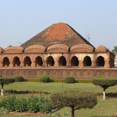
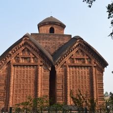
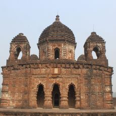
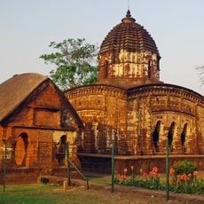
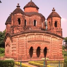
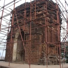
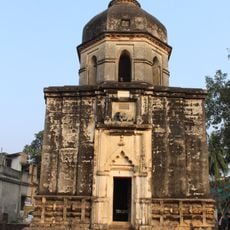
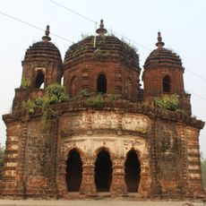
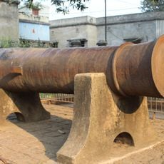
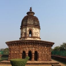
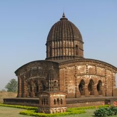
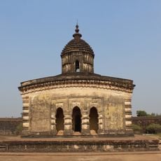
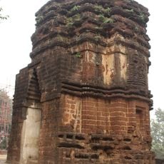
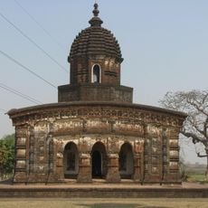
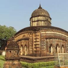
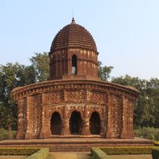
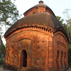
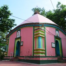
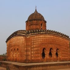
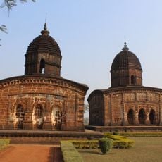
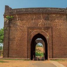
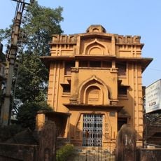
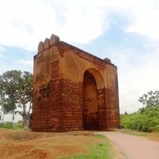
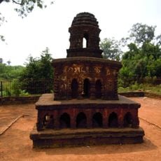
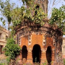
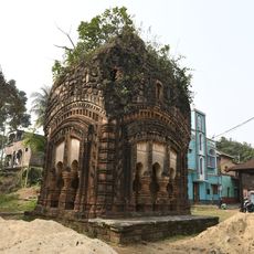
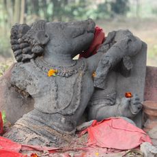
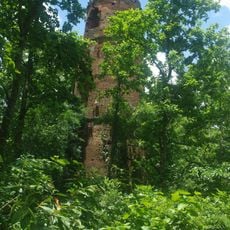
The Gokulchand Temple within this area holds national monument status and serves as a gathering place for religious ceremonies and local festivals. Visitors discover a blend of pilgrimage traditions and architectural features that reflect earlier periods.
The community of curious travelers
AroundUs brings together thousands of curated places, local tips, and hidden gems, enriched daily by 60,000 contributors worldwide.