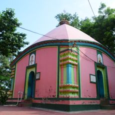
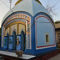
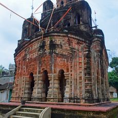
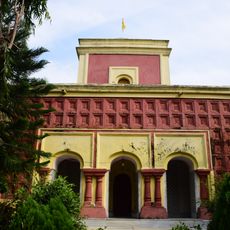
Kotulpur community development block, Administrative block in Bishnupur subdivision, India
Kotulpur is an administrative block located in Bishnupur subdivision in eastern Bankura district. The region is dominated by rice fields and agricultural infrastructure that shape daily life for the communities living here.
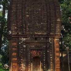
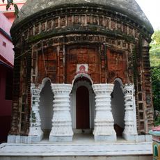
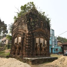
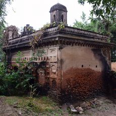
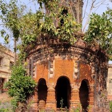
The area was historically governed by the Hindu Rajas of Bishnupur before later coming under British colonial administration. This transition shaped the administrative structures that continue to exist today.
The block contains 41,119 households spread across multiple panchayats, including Deshrakoalpara, Gopinathpur, Lowgram, and Madanmohanpur.
The block has a rural hospital and primary health centers offering medical care to the local population. The best time to visit is during dry months when agricultural work is less intensive.
The Amodor River originates from a natural spring at Knuchiakol and flows through the entire block. This waterway is vital for irrigation of the surrounding fields and supports the region's farming activities.
Location: Bishnupur subdivision
Elevation above the sea: 44 m
Shares border with: Indas community development block, Joypur community development block, Goghat II community development block
GPS coordinates: 23.01250,87.59361
Latest update: December 11, 2025 18:05
Gokulchand Temple
13.8 km
Shyamchand Temple
13.3 km
Ramsundar Shiva temple
21.7 km
Damodar temple
20.5 km
Sarbamangala temple
20.1 km
Buro Shiva temple
20.8 km
Nil Mahadev temple
18.8 km
Krishnaraijiu temple
6.5 km
Radhakantajiu temple, Akui
17 km
Ghoshalpara Kali temple
21 km
Damodar temple
11.6 km
Purbapara at-chala Shiva temple
16.9 km
Shantinath temple
8.8 km
Shridharlaljiu temple
20.5 km
Damodar temple
14.9 km
Goghat semaphore tower
16.1 km
Purbapara Vishnu deul temple
16.9 km
Shridhar temple
16.8 km
Varaha
13.8 km
Girigobardhan temple
11.6 km
Dalan temple of Adhya family
24 km
Pancharatna temple of Dey family
14.6 km
Lakhsmi Narayan Temple
16.2 km
Dayanath Shiva temple
21.7 km
Tantipukur semaphore tower
20.7 km
Rasmancha of Raha family
11.5 km
Baitalkuli semaphore tower
5.6 km
Supur Rasmancha
11.6 kmVisited this place? Tap the stars to rate it and share your experience / photos with the community! Try now! You can cancel it anytime.
Discover hidden gems everywhere you go!
From secret cafés to breathtaking viewpoints, skip the crowded tourist spots and find places that match your style. Our app makes it easy with voice search, smart filtering, route optimization, and insider tips from travelers worldwide. Download now for the complete mobile experience.
A unique approach to discovering new places❞
— Le Figaro
All the places worth exploring❞
— France Info
A tailor-made excursion in just a few clicks❞
— 20 Minutes