Enable Location

We need your location to show you interesting places around you

Discover nearby places

Find interesting locations and hidden gems around you

Precise directions

Get accurate directions and distances to places

Your location is never shared with other users. It's only used when you tap the location button.

Log in to your account

Start exploring — it's free

Trusted by 62,535 travelers worldwide

Continue with Google
Continue with Apple
or

We will send you a code to connect

By continuing, you accept our Terms and Conditions and our Privacy Policy

Check your inbox

We've sent a pincode in your inbox. Please enter the code below.

Narayangarh community development block

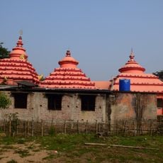
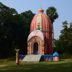
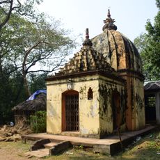
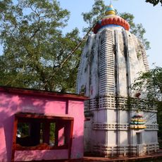
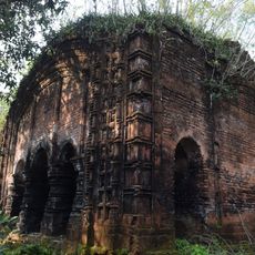
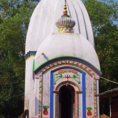
Narayangarh community development block, Administrative block in Kharagpur subdivision, India.

Narayangarh community development block is an administrative unit in the Kharagpur subdivision that spans a large area with many rivers and tidal creeks running through it. The terrain sits at low elevation and contains several hundred settlements connected by roads and railway connections.

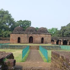
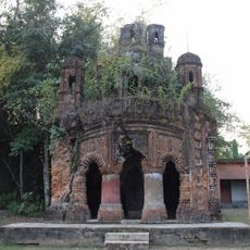
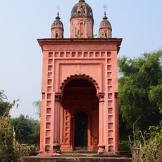
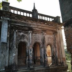
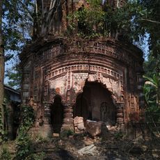
The block developed as part of the British administrative structure during colonial times in the region. Local rulers called the Kaibartta Rajas held control of the Narayangarh estate and were involved in conflicts during the 18th century.

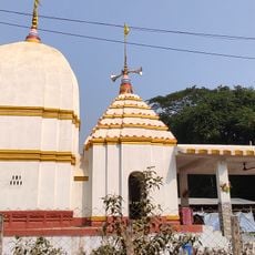
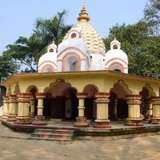
The population of 302,620 residents includes a majority of Hindu practitioners at 93.79 percent and Muslim communities at 5.23 percent.

The block is well connected by railway stations and road networks spanning across multiple settlements. The dry season offers the best conditions for travel and exploring the area, as waterlogged regions become more accessible after the monsoon rains.

The region maintains a monotonous rice plain where 90 percent of cultivated areas consist of alluvial soil suitable for agricultural activities.

The community of curious travelers

AroundUs brings together thousands of curated places, local tips, and hidden gems, enriched daily by 60,000 contributors worldwide.

Start exploring
Elevation above the sea
24 m
Shares border with
Sabang community development block, Pingla community development block, Kharagpur I community development block, Kharagpur II community development block, Keshiari community development block, Dantan I community development block, Dantan II community development block, Patashpur I community development block
GPS coordinates
22.15140,87.39290
Latest update
December 10, 2025 20:04
« Narayangarh community development block - Administrative block in Kharagpur subdivision, India » is provided by Around Us (aroundus.com). Images and texts are derived from Wikimedia project under a Creative Commons license. You are allowed to copy, distribute, and modify copies of this page, under the conditions set by the license, as long as this note is clearly visible.

Discover hidden gems everywhere you go!

From secret cafés to breathtaking viewpoints, skip the crowded tourist spots and find places that match your style. Our app makes it easy with voice search, smart filtering, route optimization, and insider tips from travelers worldwide. Download now for the complete mobile experience.

Around Us App Screenshot

A unique approach to discovering new places

Le Figaro

All the places worth exploring

France Info

A tailor-made excursion in just a few clicks

20 Minutes

Around Us
Travel Guide & Maps
Download

Send to your phone

QR Code
1

Open the camera app on your mobile.

2

Point at the QR code with your camera. A notification will appear.

3

Tap the notification to open the link.