Nabadwip community development block, Administrative block in Krishnanagar Sadar subdivision, West Bengal, India.
Nabadwip is an administrative block in Krishnanagar Sadar subdivision covering approximately 97 square kilometers with relatively flat terrain. The area consists of villages, agricultural land, and a network of schools serving residents from primary through higher secondary levels.
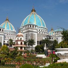
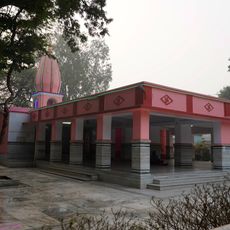
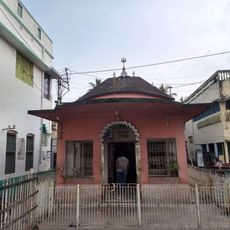
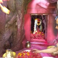
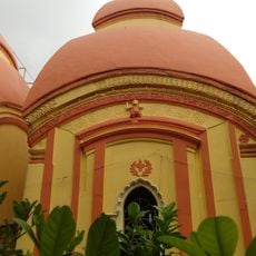
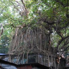
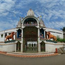
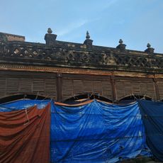
The area has been settled since ancient times and developed into a major spiritual center with both Buddhist and Hindu significance. Archaeological remains at Ballal Dhipi in Bamanpukur include ruins of a Buddhist monastery dating to the 10th through 12th centuries, showing the region's historic religious importance.
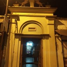
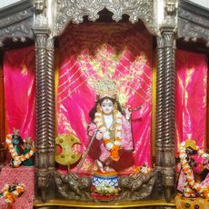
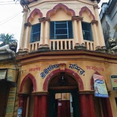
The name Nabadwip means 'new island' and reflects the area's role as a spiritual and cultural hub over centuries. Visitors notice the religious character of the place today, with both Hindu and Muslim communities maintaining active traditions and sacred sites.
The block is easily navigable with good connections between its various villages and administrative centers. Visitors planning to explore archaeological sites like Ballal Dhipi should check conditions in advance, as the dry season offers the best conditions for visiting.
The block is home to different categories of agricultural workers and landholders who maintain distinct relationships with the land and play varied roles in the rural economy. This diversity in farming practices shapes daily life and community dynamics across the villages.
The community of curious travelers
AroundUs brings together thousands of curated places, local tips, and hidden gems, enriched daily by 60,000 contributors worldwide.