Enable Location

We need your location to show you interesting places around you

Discover nearby places

Find interesting locations and hidden gems around you

Precise directions

Get accurate directions and distances to places

Your location is never shared with other users. It's only used when you tap the location button.

Log in to your account

Start exploring — it's free

Trusted by 62,561 travelers worldwide

Continue with Google
Continue with Apple
or

We will send you a code to connect

By continuing, you accept our Terms and Conditions and our Privacy Policy

Check your inbox

We've sent a pincode in your inbox. Please enter the code below.

Panskura community development block

Panskura community development block, Community development block in Tamluk subdivision, India.

Panskura is an administrative block in Tamluk subdivision located within Purba Medinipur district in West Bengal. The area comprises several inhabited villages connected by a network of ferry routes that facilitate movement between settlements.

The area was established as an administrative block following India's independence to better organize local services and development. Over time, administrative structures have been adjusted to meet the evolving needs of the communities.

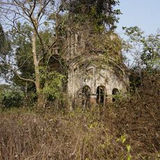
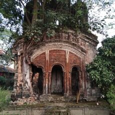
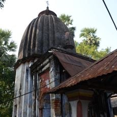
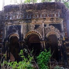
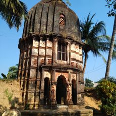
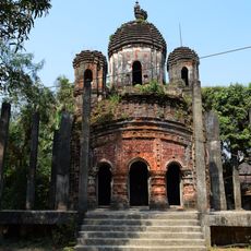
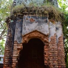
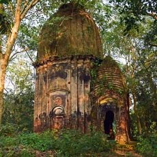
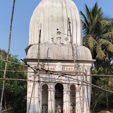
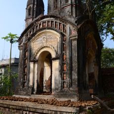
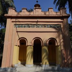
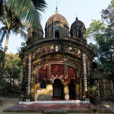
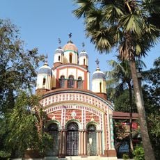
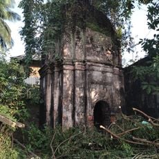
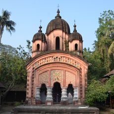
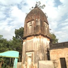
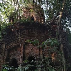
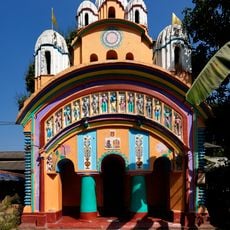
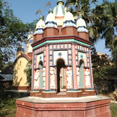
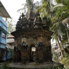
Bengali is the primary language spoken by residents and shapes the rhythm of daily life. The community reflects both Hindu and Muslim traditions that are visible in local crafts, celebrations, and building styles.

All inhabited villages have access to electricity and drinking water, making visits comfortable. Multiple ferry services operate across the region and allow easy travel between different locations.

The region is known for rice farming, particularly Aman and Boro varieties, which shape rural life. Betelvine cultivation is also widespread and contributes to local economic activity.

The community of curious travelers

AroundUs brings together thousands of curated places, local tips, and hidden gems, enriched daily by 60,000 contributors worldwide.

Start exploring
Elevation above the sea
9 m
Shares border with
Daspur I community development block, Debra community development block, Pingla community development block, Moyna community development block, Tamluk community development block, Kolaghat community development block
GPS coordinates
22.39700,87.74100
Latest update
December 12, 2025 07:58
« Panskura community development block - Community development block in Tamluk subdivision, India » is provided by Around Us (aroundus.com). Images and texts are derived from Wikimedia project under a Creative Commons license. You are allowed to copy, distribute, and modify copies of this page, under the conditions set by the license, as long as this note is clearly visible.

Discover hidden gems everywhere you go!

From secret cafés to breathtaking viewpoints, skip the crowded tourist spots and find places that match your style. Our app makes it easy with voice search, smart filtering, route optimization, and insider tips from travelers worldwide. Download now for the complete mobile experience.

Around Us App Screenshot

A unique approach to discovering new places

Le Figaro

All the places worth exploring

France Info

A tailor-made excursion in just a few clicks

20 Minutes

Around Us
Travel Guide & Maps
Download

Send to your phone

QR Code
1

Open the camera app on your mobile.

2

Point at the QR code with your camera. A notification will appear.

3

Tap the notification to open the link.