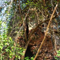
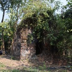
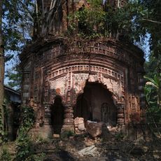
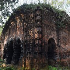
Patashpur I community development block, Administrative block in Egra subdivision, India
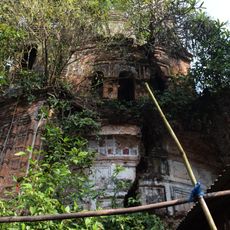
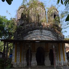
Patashpur I is an administrative block in the Egra subdivision of Purba Medinipur district in West Bengal. The area consists of numerous villages scattered across rural farmland with several water channels running through it.
The block was established as an administrative unit to organize and manage rural areas in West Bengal. Over time, the population has grown significantly and infrastructure has been gradually improved to serve the communities.
Bengali serves as the primary language for 98.29 percent of residents, reflecting the strong regional identity of this West Bengal administrative area.
Most villages have electricity, providing basic services across many areas, though more remote settlements have limited facilities. Communication can be difficult as post offices are sparse and water routes remain the main access for some communities.
Water routes crisscross the territory and connect distant villages through three ferry services that are essential for people and goods. These waterways are shaped by intensive farming activities and remain central to daily life in this region.
Location: Egra subdivision
Elevation above the sea: 15 m
Shares border with: Narayangarh community development block, Sabang community development block, Bhagabanpur I community development block, Bhagabanpur II community development block, Patashpur II community development block, Dantan II community development block
GPS coordinates: 22.05910,87.63710
Latest update: December 11, 2025 18:05
Lakshmi Janardan temple
17.4 km
Rudreshwar temple
13.5 km
Atchala Shiva temple
14.8 km
Hatnagar Shiva Deul
20.2 km
Radha Krishna temple
21.6 km
Lakshmi Janardan temple
22.9 km
Shyamsundar Pancharatna temple
10.5 km
Panchet Rajbari
14 km
Chandni temple
25.2 km
Jora Atchala Shiva temple
25.1 km
Ramchandra temple
21.2 km
Shitala temple
20.5 km
Shyamsundar Deul temple
10.5 km
Baneshwar Shiva temple
25.2 km
Pancheshwar Shiva temple
14 km
Baikunthanath temple
14.7 km
Joydurga temple
14.8 km
Ramchandra temple
17.6 km
Radha Gobinda temple
15.2 km
Dakshina Kali temple
13.1 km
Lakshmi Janardan temple
18.9 km
Shitala temple
14.1 km
Shyamsundar temple
12.5 km
Radhagobindajiu temple
20.4 km
Kedar Pabkeswhar Shiva Temple
24.2 km
Brindavanjiu temple
20.3 km
Ruined palace of Bose family
25.2 km
Rasmancha of Hatnagar Shiva temple
20.2 kmVisited this place? Tap the stars to rate it and share your experience / photos with the community! Try now! You can cancel it anytime.
Discover hidden gems everywhere you go!
From secret cafés to breathtaking viewpoints, skip the crowded tourist spots and find places that match your style. Our app makes it easy with voice search, smart filtering, route optimization, and insider tips from travelers worldwide. Download now for the complete mobile experience.
A unique approach to discovering new places❞
— Le Figaro
All the places worth exploring❞
— France Info
A tailor-made excursion in just a few clicks❞
— 20 Minutes