Singur community development block, Administrative block in Chandannagar subdivision, India
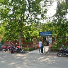
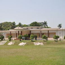
Singur is a community development block in the Hooghly district of West Bengal, India, located in the fertile Ganges delta. It is made up of sixteen Gram Panchayats and served by two police stations and several health centers.
Archaeological finds suggest the area was once known as Singhapur and held a place in ancient times. Over the centuries it developed alongside the broader changes that shaped the Ganges delta region.
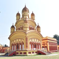
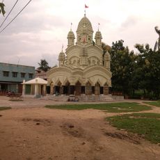
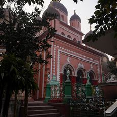
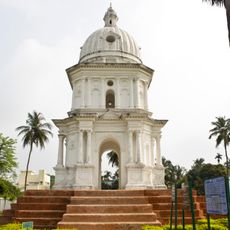
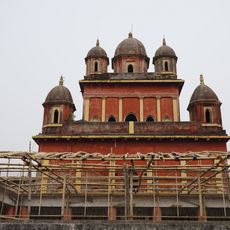
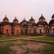
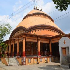
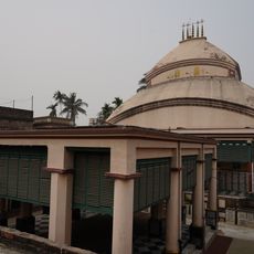
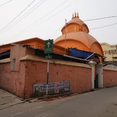
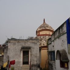
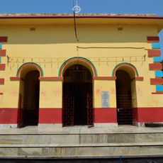
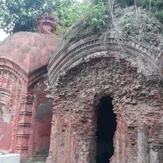
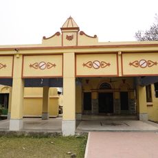
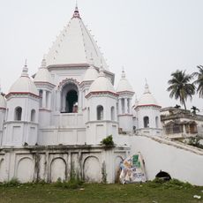
Local temples such as Adi Biswalakhi Mandir and Dakat Kali Mandir are places where residents gather to practice their faith and celebrate traditional festivals. The rhythm of daily life in many villages is shaped around these religious sites.
The block is most easily reached by train, as a railway station connects the area to Howrah and Kolkata. Those planning to visit villages further inside should allow extra time, since some are more remote than others.
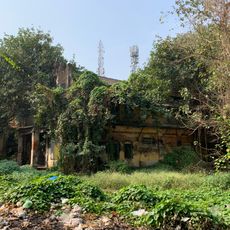
A prolonged dispute over land acquisition for an automobile factory ended with the original landowners regaining their land after years of resistance. The case drew national attention and is widely seen as a turning point in debates about land rights across India.
The community of curious travelers
AroundUs brings together thousands of curated places, local tips, and hidden gems, enriched daily by 60,000 contributors worldwide.