Enable Location

We need your location to show you interesting places around you

Discover nearby places

Find interesting locations and hidden gems around you

Precise directions

Get accurate directions and distances to places

Your location is never shared with other users. It's only used when you tap the location button.

Log in to your account

Start exploring — it's free

Trusted by 62,535 travelers worldwide

Continue with Google
Continue with Apple
or

We will send you a code to connect

By continuing, you accept our Terms and Conditions and our Privacy Policy

Check your inbox

We've sent a pincode in your inbox. Please enter the code below.

Sabang community development block

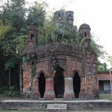
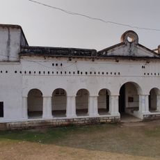
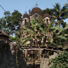
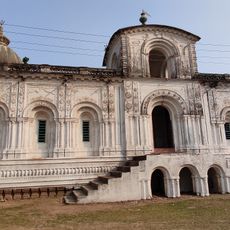
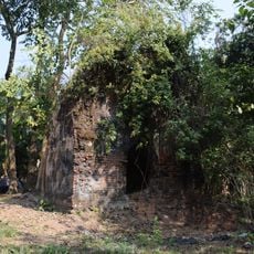
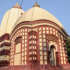
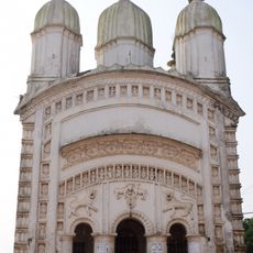
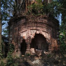
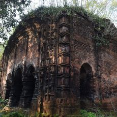
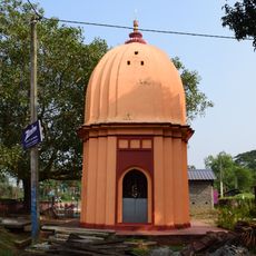
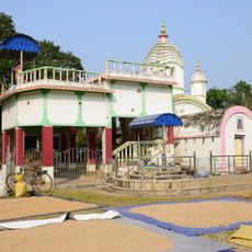
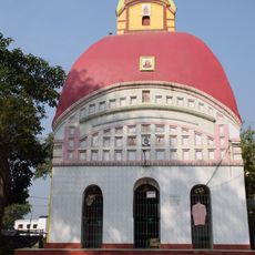
Sabang community development block, Administrative block in Kharagpur subdivision, India

Sabang community development block is an administrative unit in the Kharagpur area that spans rice fields crossed by irrigation channels and tidal streams. The region includes both agricultural lands and multiple schools alongside local government facilities serving the surrounding towns and villages.

The block was established after India's independence as part of a national plan to improve rural administration and strengthen local development governance. This administrative reform was part of broader efforts to decentralize government functions across the newly independent country.

Bengali is the main language spoken here, with some residents also using Santali and Urdu in daily conversation. This linguistic diversity reflects the mixed communities that have settled in the area over time.

The area has schools at various levels spread across multiple villages and towns, from primary to higher secondary institutions. The best way to explore this region is by car or local transport, as villages are connected by local roads and basic infrastructure.

The terrain sits at roughly 17 meters above sea level and is marked by a network of tidal creeks that shape farming practices here. These waterways influence both how rice is grown and how water naturally drains through the fields.

The community of curious travelers

AroundUs brings together thousands of curated places, local tips, and hidden gems, enriched daily by 60,000 contributors worldwide.

Start exploring
Elevation above the sea
17 m
Shares border with
Moyna community development block, Bhagabanpur I community development block, Patashpur I community development block, Narayangarh community development block, Pingla community development block
GPS coordinates
22.17600,87.60100
Latest update
December 11, 2025 18:06
« Sabang community development block - Administrative block in Kharagpur subdivision, India » is provided by Around Us (aroundus.com). Images and texts are derived from Wikimedia project under a Creative Commons license. You are allowed to copy, distribute, and modify copies of this page, under the conditions set by the license, as long as this note is clearly visible.

Discover hidden gems everywhere you go!

From secret cafés to breathtaking viewpoints, skip the crowded tourist spots and find places that match your style. Our app makes it easy with voice search, smart filtering, route optimization, and insider tips from travelers worldwide. Download now for the complete mobile experience.

Around Us App Screenshot

A unique approach to discovering new places

Le Figaro

All the places worth exploring

France Info

A tailor-made excursion in just a few clicks

20 Minutes

Around Us
Travel Guide & Maps
Download

Send to your phone

QR Code
1

Open the camera app on your mobile.

2

Point at the QR code with your camera. A notification will appear.

3

Tap the notification to open the link.