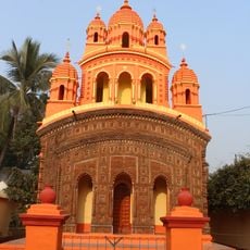
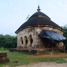
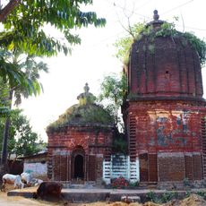
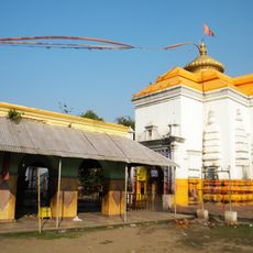
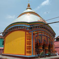
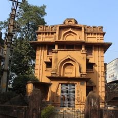
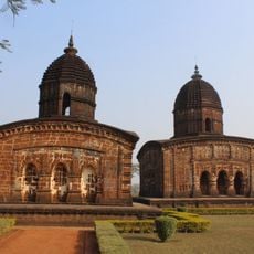
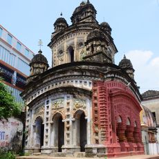
Raipur community development block, Community development block in Khatra subdivision, West Bengal.
Raipur community development block is an administrative area in Khatra subdivision of West Bengal covering roughly 364 square kilometers with uneven terrain and low hills. The region is home to approximately 171,000 residents distributed across rural settlements.
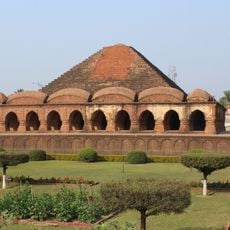
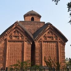
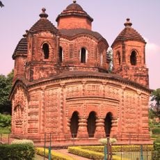
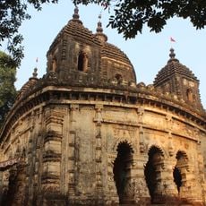
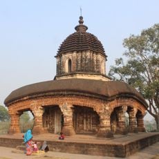
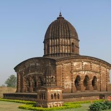
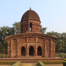
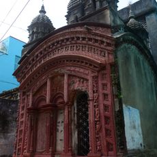
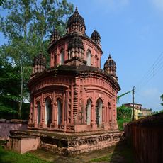
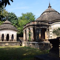
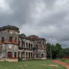
From the 7th century until 1760, the region was ruled by the Hindu Rajas of Bishnupur before British administration took control. This transition shifted the area's governance and influenced its subsequent development.
The communities here speak Bengali, Santali, and Kurmali, languages that shape how people interact and connect with each other across the villages. Local life unfolds through these linguistic threads, binding residents together through shared communication and cultural practice.
The block has multiple primary health centers and a 30-bed rural hospital serving local medical needs. Visitors should expect limited medical infrastructure and potentially uneven road conditions given the hilly terrain.
Local weavers produce traditional Baluchari saris in this region, textile pieces known for their detailed decorative motifs. This craft provides significant income to many residents beyond agricultural work.
Location: Khatra subdivision
Elevation above the sea: 79 m
Shares border with: Ranibandh community development block, Khatra community development block, Sarenga community development block, Binpur II community development block
GPS coordinates: 22.80000,86.95000
Latest update: December 10, 2025 20:08
Rasmancha
48.4 km
Keshto Ray Temple, Bishnupur
49.1 km
Dhalbhum
25.6 km
Radha Madhab Temple
48.1 km
Shyamrai Temple
48.8 km
Madan Gopal Temple
48.2 km
Murali Mohan Temple
49.1 km
Dalmadal Cannon
48 km
Kalachand Temple
48.1 km
Radha Gobinda Temple
48 km
Radha Shyam Temple
49.1 km
Nanda Lal Temple
48 km
Sridhar Temple
48 km
Gour Nitai temple
47.5 km
Radha-Krishna temple
45.6 km
Ekteshwar Shiva Temple
47.5 km
Shyam Sundar temple
32.8 km
Acharya Jogesh Chandra Purakriti Bhaban
48.5 km
Jore Mandir
47.9 km
Shridhar temple
47.3 km
Shrirampurpara pancharatna temple
47.1 km
Lakshmi Janaradan temple
25.3 km
Balaramjiu temple
18 km
Chilkigarh Rajbari
39.6 km
Delta-12
49 km
Ondagram semaphore tower
46.5 km
Pakbirra Museum
48.5 km
Ramsagar semaphore tower
48.2 kmVisited this place? Tap the stars to rate it and share your experience / photos with the community! Try now! You can cancel it anytime.
Discover hidden gems everywhere you go!
From secret cafés to breathtaking viewpoints, skip the crowded tourist spots and find places that match your style. Our app makes it easy with voice search, smart filtering, route optimization, and insider tips from travelers worldwide. Download now for the complete mobile experience.
A unique approach to discovering new places❞
— Le Figaro
All the places worth exploring❞
— France Info
A tailor-made excursion in just a few clicks❞
— 20 Minutes