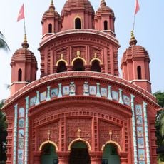
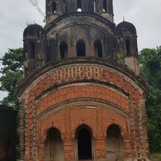
Kharagpur II community development block, Administrative territory in West Bengal, India
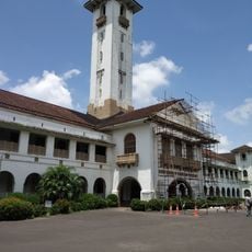
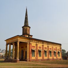
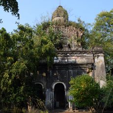
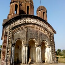
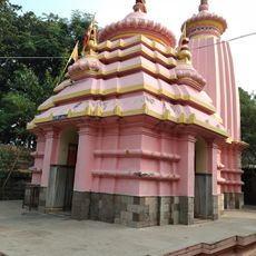
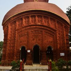
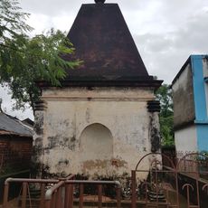
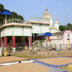
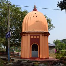
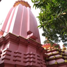
Kharagpur II is a community development block in the Paschim Medinipur district of West Bengal, covering a wide rural area made up of many villages and smaller settlements. It is part of the Kharagpur subdivision and functions as a local administrative unit within that broader area.
Community development blocks like Kharagpur II were set up across India after independence to bring local governance closer to rural communities. This block sits within Paschim Medinipur, a district that was carved out of the older and much larger Midnapore district in 2002.
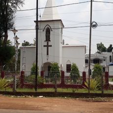
The demographic composition shows a population distribution of 84.99 percent Hindu residents and 12.94 percent Muslim residents, representing the two main religious communities.
The area is mostly rural and villages are spread over a wide territory, so moving between settlements can take time. Basic services like water supply and electricity reach most villages, though the range of facilities can vary from one place to another.
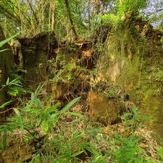
The land across the block is split between two soil types: lateritic soil covers most of the area, while alluvial soil appears in specific zones, and this directly shapes what crops are grown where. Travelers crossing the block may notice how the fields and vegetation shift noticeably depending on which type of soil lies beneath.
The community of curious travelers
AroundUs brings together thousands of curated places, local tips, and hidden gems, enriched daily by 60,000 contributors worldwide.