Khatra community development block, Administrative block in Bankura district, India
Khatra is an administrative block in Bankura district that covers an area of 232 square kilometers with low elevation and mixed terrain. The block includes numerous villages, agricultural lands, and small towns scattered throughout its boundaries.
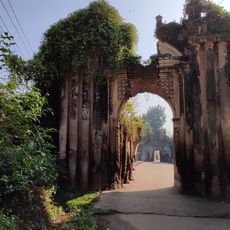
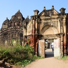
The region fell under the rule of Hindu Rajas of Bishnupur starting in the 7th century before British colonial rule reshaped its governance. This extended period of local sovereignty influenced the area's social and administrative patterns significantly.
The population of 117,030 includes a mix of Hindu, Muslim, and tribal communities, with Scheduled Tribes representing 22 percent of residents.
The block is served by educational institutions including primary and secondary schools spread across its area. Travel through the region relies on local roads connecting the various villages and market centers.
The Kangsabati Project delivers irrigation water that supports agricultural production across the block. This water system allows farming activities to continue even during dry seasons when rainfall is limited.
The community of curious travelers
AroundUs brings together thousands of curated places, local tips, and hidden gems, enriched daily by 60,000 contributors worldwide.