
Remains of an old Fort, fort remains in Chandrapur district, Maharashtra
Location: Chandrapur district
GPS coordinates: 20.27864,79.33614
Latest update: April 14, 2025 00:35
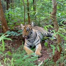
Tadoba-Andhari Tiger Reserve
9.8 km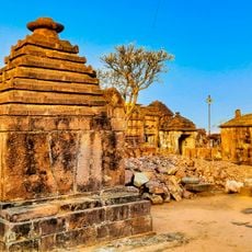
Markanda Group of Temples, Gadchiroli
63.8 km
Hedgewar Smruti Mandir
98.2 km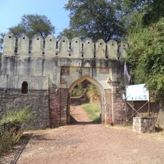
Manikgad
70.8 km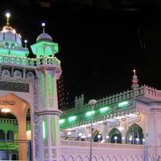
Masjid Ghareeb Nawaz
95.3 km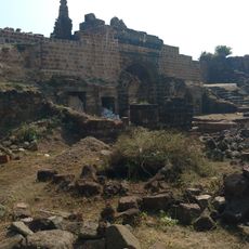
Vairagad Fort
80.7 km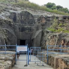
Vijasan Caves
32 km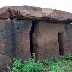
Hirapur dolmen
43.4 km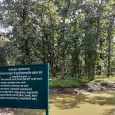
Chaprala Wildlife Sanctuary
85.6 km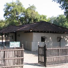
Bapu Kuti
86.3 km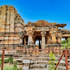
Temple of Mahadev, Neri
23.9 km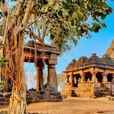
Two temples (one small and one large) which are closely situated
70.8 km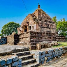
Bhandareshwar temple, Vairagad
79.9 km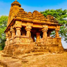
Shiva temple, Thanegaon Gadchiroli
70.8 km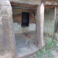
Panch Pandav caves
51.1 km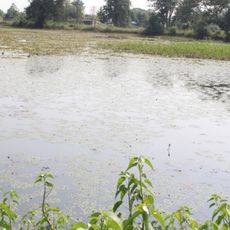
Bāndtala Tank
75.5 km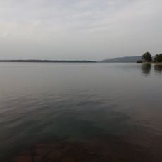
Ghorājhari Tank
42.6 km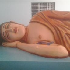
Dhammabhoomi
64.7 km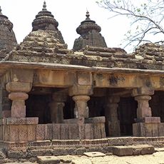
Shiv Temple, Armori
70.4 km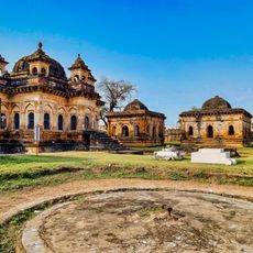
Gond Raja Chhatri, Achaleshwar gate Chandrapur
37.1 km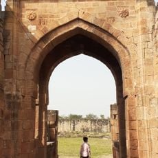
Fort
30.3 km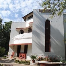
Magan Sangrahalaya
92.7 km
Raghuji Talāv
96.6 km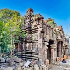
Twin Temples, Amgaon Mahal
77 km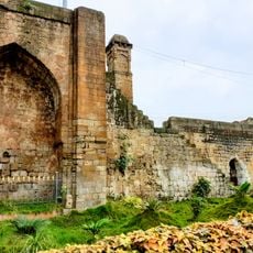
Chandrapur Fort Wall
36 km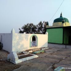
Paunar Fort
89.1 km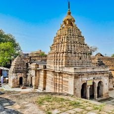
Anchaleshwar temple group, Chandrapur
37.2 km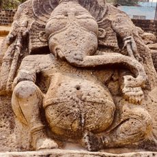
Lalpeth monoliths, Chandrapur
38.9 kmReviews
Visited this place? Tap the stars to rate it and share your experience / photos with the community! Try now! You can cancel it anytime.
Discover hidden gems everywhere you go!
From secret cafés to breathtaking viewpoints, skip the crowded tourist spots and find places that match your style. Our app makes it easy with voice search, smart filtering, route optimization, and insider tips from travelers worldwide. Download now for the complete mobile experience.

A unique approach to discovering new places❞
— Le Figaro
All the places worth exploring❞
— France Info
A tailor-made excursion in just a few clicks❞
— 20 Minutes