Geography of Iran, Geographic region in Western Asia, Iran
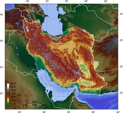
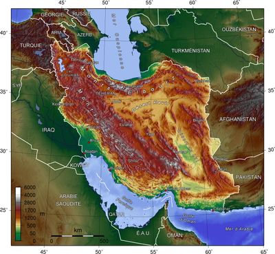
The geography of Iran covers roughly 1.6 million square kilometers in Western Asia, including mountain chains, desert basins, and coastal plains. The country shares borders with seven neighbors, including Afghanistan to the east and Turkey to the northwest, and is bordered by two seas: the Caspian Sea to the north and the Persian Gulf to the south.
The mountainous terrain kept settlements isolated for centuries until road and rail networks were built in the 20th century. These new connections transformed economic and social relations between regions.
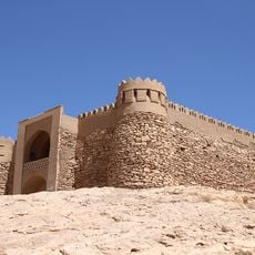
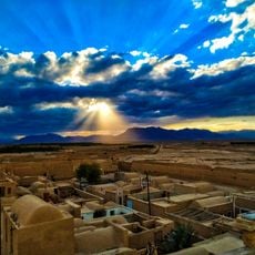
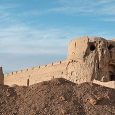
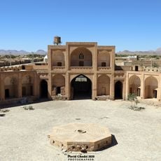
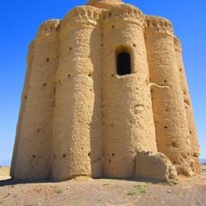
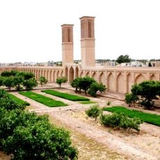
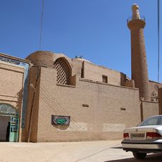
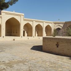
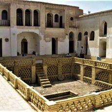
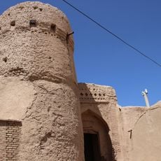
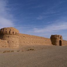
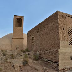
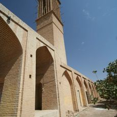
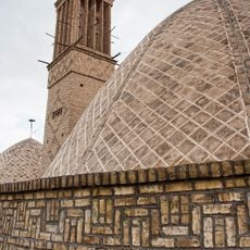
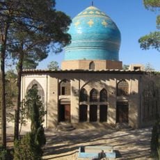
Settlement patterns reflect the varied topography: rectangular villages spread across plains, while mountain communities step up hillsides in terraces. Traditional building methods using mud and stone adapt to local elevation and climate, showing how people have worked with the land for generations.
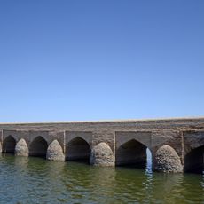
The Karun remains the only river suitable for navigation and allows water transport in the southwest. The Amir Kabir dam north of Tehran plays an important role in supplying the capital with water and electricity.
Mount Damavand rises to 5610 meters (18,410 feet) in the Alborz range, while the Caspian Sea coast sits 28 meters (92 feet) below sea level. This elevation difference of over 5600 meters (18,370 feet) within a relatively short distance shapes the climate and vegetation across the country.
The community of curious travelers
AroundUs brings together thousands of curated places, local tips, and hidden gems, enriched daily by 60,000 contributors worldwide.