
Lordegan, city in Chaharmahal and Bakhtiari Province, Iran
Location: Central District
Location: Lordegan County
Elevation above the sea: 1,564 m
Part of: Lordegan County
GPS coordinates: 31.50972,50.82833
Latest update: May 13, 2025 08:49

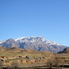
Dena
84.9 km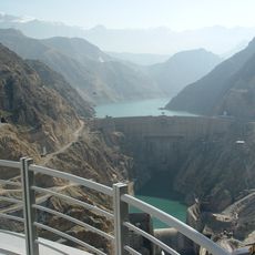
Karun-3 Dam
76.7 km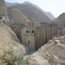
Karun-4 Dam
35.2 km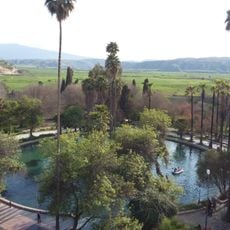
Belqeys Spring Garden
88.1 km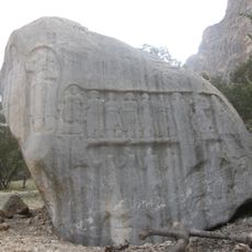
Tang-e Sarvak
83.6 km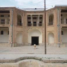
Dezak Castle
64.9 km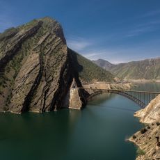
Karun-4 Arch Bridge
35.2 km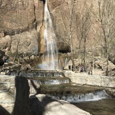
Semirom Waterfall
74.6 km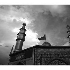
Imamzadeh Hamzeh Ali (Borujen County)
50.6 km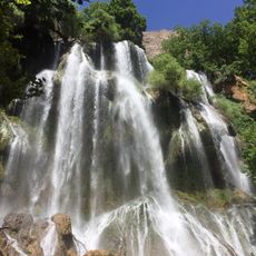
Zardlimeh Waterfall
84.5 km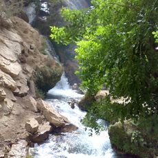
Atashgah Waterfall
34.2 km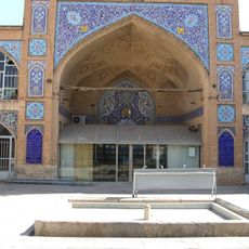
Jameh Mosque of Shahr-e Kord
90.7 km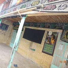
Imam Khomeini Mosque (Boldaji)
51.7 km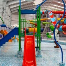
دهکده موج آبی دیارا
83 km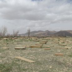
Sirak Armenian Cemetery
78.5 km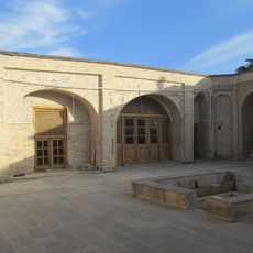
Khalaja Mosque
79 km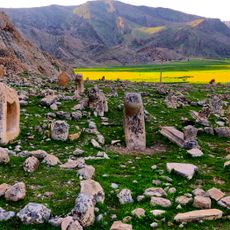
Shahsavar Cemetery
89.5 km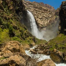
Tang e Zendan
24.7 km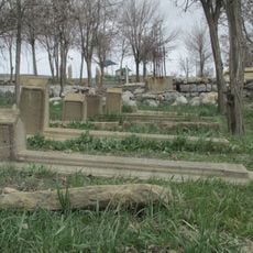
Bozlar Cemetery
80.6 km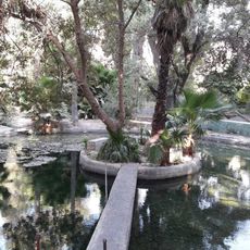
Omran Garden (Karreh Shahbazi)
88 km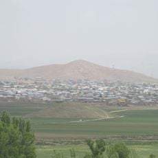
Tepe Eskandari
79 km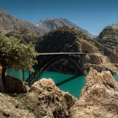
Karun-3 Arch Bridge
73.7 km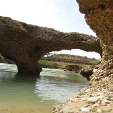
Rostamabad Bridge (Karun)
69.9 km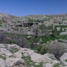
روستای مریک
51.7 km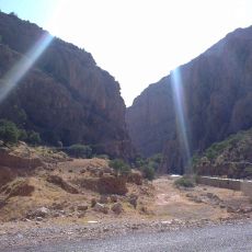
Pir Zal Canyon
75.6 km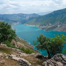
Karun-4 Lake
37.2 km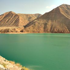
Karun-3 Lake
60.9 km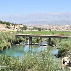
Chitab Bridge
93.3 kmReviews
Visited this place? Tap the stars to rate it and share your experience / photos with the community! Try now! You can cancel it anytime.
Discover hidden gems everywhere you go!
From secret cafés to breathtaking viewpoints, skip the crowded tourist spots and find places that match your style. Our app makes it easy with voice search, smart filtering, route optimization, and insider tips from travelers worldwide. Download now for the complete mobile experience.

A unique approach to discovering new places❞
— Le Figaro
All the places worth exploring❞
— France Info
A tailor-made excursion in just a few clicks❞
— 20 Minutes