
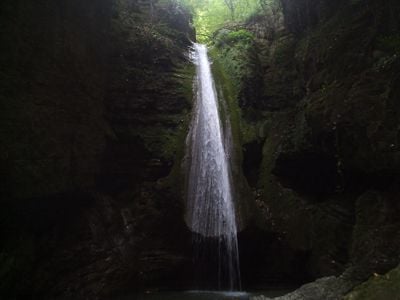
Sang-e Now Waterfall, waterfall in Behshahr County, Iran
Location: Kuhestan Rural District
Elevation above the sea: 450 m
Height: 12 m
GPS coordinates: 36.65583,53.52472
Latest update: March 8, 2025 21:04
Jameh Mosque of Sari
43 km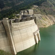
Shahid Rajaee Dam
52.5 km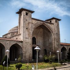
Farahabad Mosque
40 km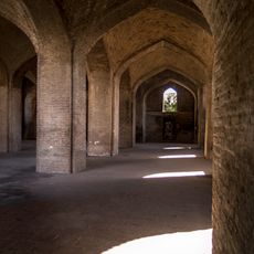
Farahabad Complex
39.9 km
Jahan Nama Palace (Farahabad)
39.6 km
Abbasabad Garden
6.4 km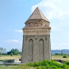
Shater Dome
42.8 km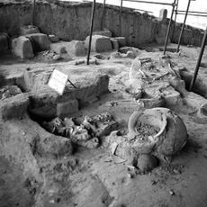
Gohar Tepe
11.4 km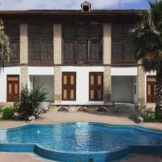
Kolbadi House
42.8 km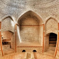
Vaziri Hammam
42.8 km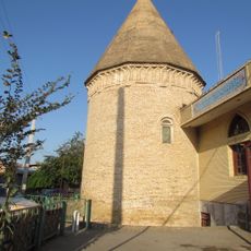
Imamzadeh Yahya (Sari)
43.1 km
Farahabad Hammam
40 km
منزل شهرياري
48.5 km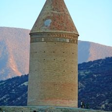
Radkan Tower
52 km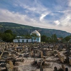
Sefid Chah Cemetery
32.6 km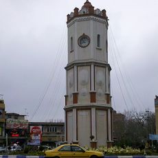
Sari Clock Tower
42.2 km
Afghan Nejad Mansion
12.1 km
پل تجن
40.6 km
New Ab Anbar (Sari)
42.5 km
Fazeli House (Sari)
42.6 km
موزه ساری
42.5 km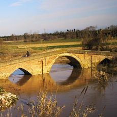
Adobe Bridge
51.6 km
بانک ملی ساری
42.3 km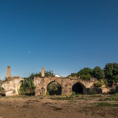
Farahabad Bridge
39.7 km
Āb Bandān-e Valak Marz
51.3 km
Āb Bandān-e Qarah Qandūn
47.8 km
Āb Bandān-e Pā'īn Rūd Posht
50.8 km
Āb Bandān-e Chahār Ţāq Bon
49.2 kmReviews
Visited this place? Tap the stars to rate it and share your experience / photos with the community! Try now! You can cancel it anytime.
Discover hidden gems everywhere you go!
From secret cafés to breathtaking viewpoints, skip the crowded tourist spots and find places that match your style. Our app makes it easy with voice search, smart filtering, route optimization, and insider tips from travelers worldwide. Download now for the complete mobile experience.

A unique approach to discovering new places❞
— Le Figaro
All the places worth exploring❞
— France Info
A tailor-made excursion in just a few clicks❞
— 20 Minutes