Stykkishólmur, town in Iceland
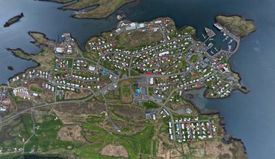
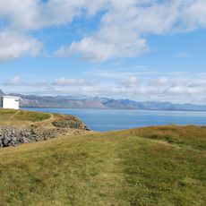
Stykkishólmur is a small town on the northern shore of the Snæfellsnes Peninsula with colorful wooden houses and narrow streets that create a cozy feeling. The harbor is filled with boats, and the town is framed by mountains and fjord landscapes.
The town has a long history as a trading port and fishing settlement, drawn to its natural harbor and access to rich waters. A trading post was established in 1550, which helped it grow and become important despite Danish trade restrictions.
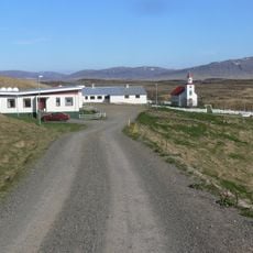
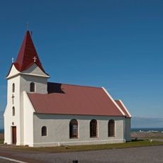
The church in Stykkishólmur is a bright building by the sea, built in 1990 and beloved by both visitors and locals as a key landmark. It hosts concerts and events regularly, making it a lively part of community life where people gather for cultural activities.
The town is easily reached by car from Reykjavik, a drive of about two hours through scenic landscapes. Many visitors rent a car for flexibility, though buses and guided tours are also available.
The Library of Water is an art installation made of glass columns filled with glacier water from across Iceland, standing on a hill above the town. This unusual work merges art and nature, offering visitors a surprising perspective on the landscape.
The community of curious travelers
AroundUs brings together thousands of curated places, local tips, and hidden gems, enriched daily by 60,000 contributors worldwide.