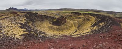
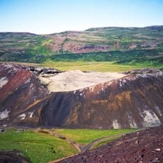
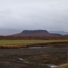
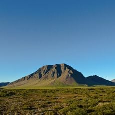
Grábrók, Volcanic crater in Borgarfjörður, Iceland.
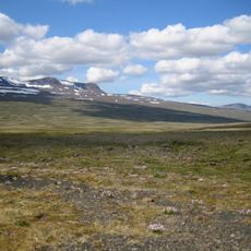
Grábrók is a volcanic crater in Borgarfjörður that rises roughly 170 meters above the surrounding land, featuring steep slopes and a circular rim overlooking Lake Hreðavatn and moss-covered lava fields. The cone's distinctive shape and exposed rock walls reveal the force of the eruption that created it.
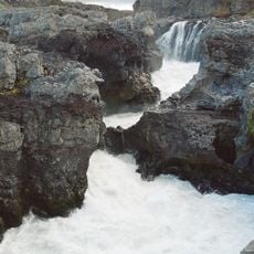
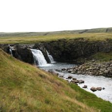
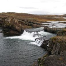
The volcanic eruption that formed this crater happened about 3400 years ago and dramatically reshaped the Norðurárdalur valley while creating Lake Hreðavatn. This eruption demonstrates how volcanic activity has continuously shaped Iceland's landscape throughout its history.
The protected nature preserve around this site reflects Iceland's long-standing commitment to safeguarding its geological heritage. Visitors walking through the lava landscape experience how the Icelandic people connect with their volcanic home as both a natural wonder and a living part of their identity.
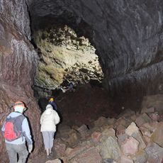
A well-maintained path leads from the parking area to the summit, with stairs and viewing platforms providing safe access for exploration. Visitors should prepare for changing weather and potentially slippery surfaces, especially after rain or during winter months.
The lava fields surrounding the crater are blanketed in Icelandic moss that gives the dark volcanic rock a green hue, creating a striking visual contrast. This moss coverage demonstrates how quickly life establishes itself on newly formed volcanic terrain and transforms the harsh landscape into something softer.
The community of curious travelers
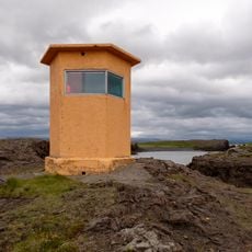
AroundUs brings together thousands of curated places, local tips, and hidden gems, enriched daily by 60,000 contributors worldwide.