Dronero, Italian comune
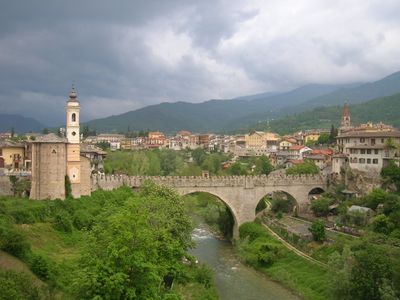
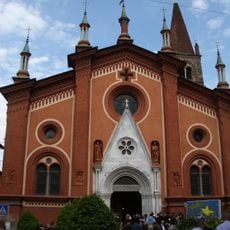
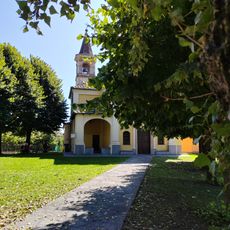
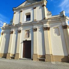
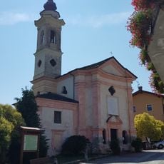
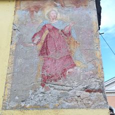
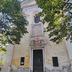
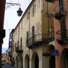
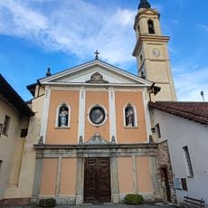
Dronero is a small town in the province of Cuneo in northern Italy, situated on a rocky outcrop in the Maira valley. The old center features an elegant main street with arched walkways, stone buildings, and several large historic structures, including the Museo Mallè with paintings and ceramics and the Sòn de Lenga Museum focused on local traditions.
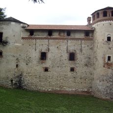
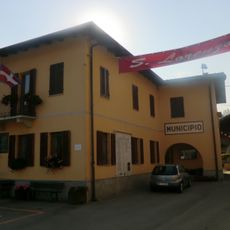
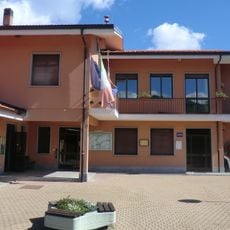
Dronero formed around 1150 through the merger of two villages called Surzana and Ripoli. In the 14th century, Marchese Ludovico II issued a law requiring large landowners to settle in Dronero and build a house within three years, which increased the town's importance and grand buildings.
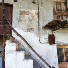
The name Dronero may come from a noble family called Dragone or from a Latin word for a soldier carrying a dragon banner. The old streets and stone buildings still show these origins in their details and the way the town is organized.
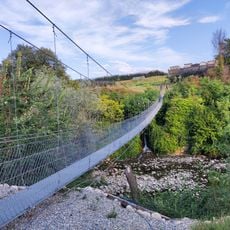
The town is easy to explore on foot, as main sights are close together and the old center is walkable. Weather varies by season, with summers generally warm and suitable for outdoor activities, while winters bring cooler temperatures but still allow for hiking and exploring nearby trails.
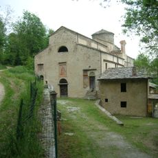
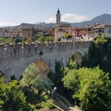
The famous Ponte del Diavolo was built in 1428 and takes its name from a local legend claiming the devil built the bridge in one night to win a soul. The Mulino della Riviera from the 15th century still works today and can be visited on Saturday mornings to see grain ground using traditional methods.
The community of curious travelers
AroundUs brings together thousands of curated places, local tips, and hidden gems, enriched daily by 60,000 contributors worldwide.