
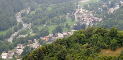
Ala di Stura, Italian comune
Location: Metropolitan City of Turin
Capital city: Ala di Stura
Elevation above the sea: 1,080 m
Shares border with: Balme, Chialamberto, Ceres, Groscavallo, Lemie, Mezzenile, Pessinetto
Website: http://comunealadistura.it
GPS coordinates: 45.31515,7.30591
Latest update: March 15, 2025 05:17
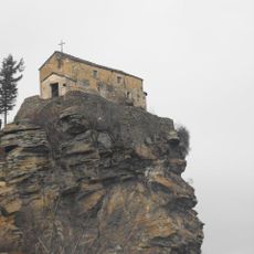
Sanctuary of Santa Cristina
6 km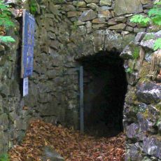
Grotte di Pugnetto
9.6 km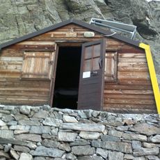
Bivacco Soardi - Fassero
11.3 km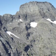
Torre d'Ovarda
9.2 km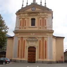
Chiesa dell'Assunzione di Maria Vergine
6.6 km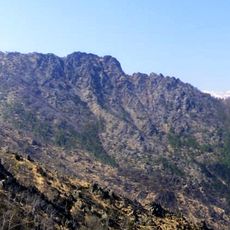
Uja di Calcante
8.9 km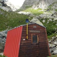
Bivacco Gandolfo
7.9 km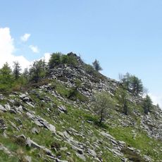
Monte Pellerin
4.3 km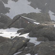
Bivacco Bruno Molino
6.2 km
Punta Rossa di Sea
8.3 km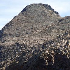
Cima Autour
10.5 km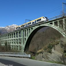
Stura di Valgrande viaduct
6.9 km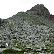
Punta Golai
7.6 km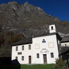
Museo Civico Alpino "Arnaldo Tazzetti"
11.6 km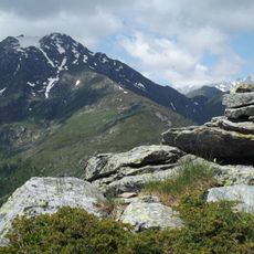
Monte Dubia
3 km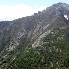
Monte Plu
2.4 km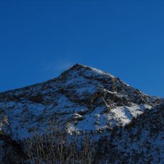
Monte Rosso d'Ala
4.3 km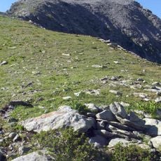
Cima Chiavesso
7 km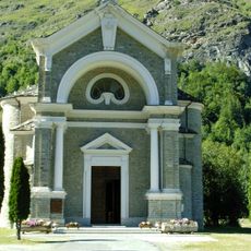
Assunzione di Maria Vergine Church
11.6 km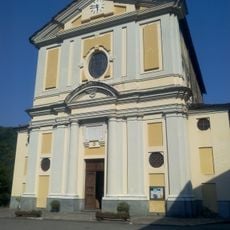
Chiesa di San Martino Vescovo
7.5 km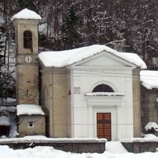
Santa Maria Maddalena
7 km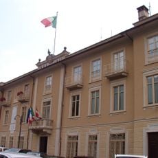
Town hall of Ceres
6.5 km
Santi Nicola e Grato
80 m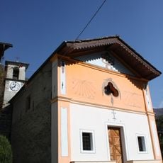
Madonna della Neve
3.1 km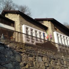
Town hall of Chialamberto
6.2 km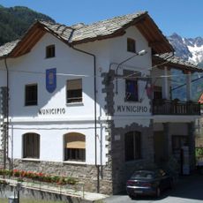
Town hall of Groscavallo
6.3 km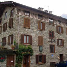
Town hall of Ala di Stura
126 m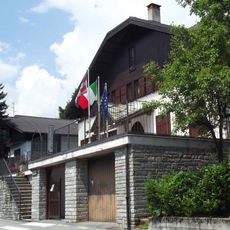
Town hall of Cantoira
6.6 kmVisited this place? Tap the stars to rate it and share your experience / photos with the community! Try now! You can cancel it anytime.
Discover hidden gems everywhere you go!
From secret cafés to breathtaking viewpoints, skip the crowded tourist spots and find places that match your style. Our app makes it easy with voice search, smart filtering, route optimization, and insider tips from travelers worldwide. Download now for the complete mobile experience.

A unique approach to discovering new places❞
— Le Figaro
All the places worth exploring❞
— France Info
A tailor-made excursion in just a few clicks❞
— 20 Minutes