
Romanengo, Italian comune
Location: Province of Cremona
Capital city: Romanengo
Elevation above the sea: 81 m
Website: http://www.comune.romanengo.cr.it/
Shares border with: Casaletto di Sopra, Izano, Offanengo, Salvirola, Ticengo
Website: http://comune.romanengo.cr.it
GPS coordinates: 45.38333,9.78333
Latest update: March 10, 2025 14:30
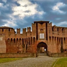
Castle of Soncino
7.1 km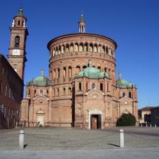
Santa Maria della Croce Sanctuary
6.9 km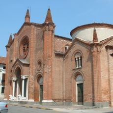
Santa Maria Assunta Church
7.4 km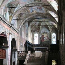
San Giacomo church
7.3 km
Santa Maria delle Grazie
6.7 km
San Benedetto Church
7.5 km
Villa Obizza
5.4 km
Santa Maria del Binengo
7.4 km
Santa Maria della Pietà Oratory
5.8 km
San Pietro Apostolo Church
7.6 km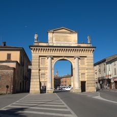
Porta Serio
7.4 km
Beata Vergine della Pallavicina
4.2 km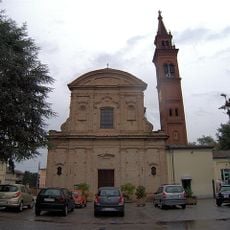
San Bernardino Church
6.3 km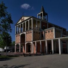
Cuore Immacolato di Maria Church
7 km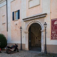
Civic museum of Crema
7.6 km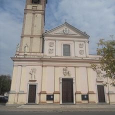
San Martino Vescovo Church
7.8 km
Chiesa di San Giorgio Martire
5.3 km
Chiesa di San Pietro in Vincoli
6.4 km
Santa Maria Purificata Church
3.3 km
San Rocco Church
3.2 km
Chiesa di San Biagio
4.1 km
Scuola rurale Gaetano Tommaselli
6.1 km
Chiesa di San Procopio
5.4 km
Chiesa di Sant'Andrea Apostolo
3.7 km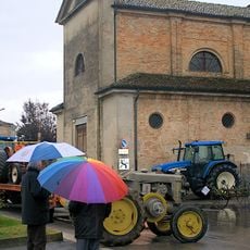
Sacro Cuore di Maria
6.4 km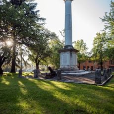
War memorial
7.3 km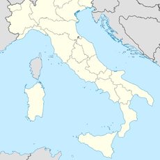
Parco di via Desti
7.4 km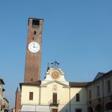
Palazzo comunale
6.9 kmReviews
Visited this place? Tap the stars to rate it and share your experience / photos with the community! Try now! You can cancel it anytime.
Discover hidden gems everywhere you go!
From secret cafés to breathtaking viewpoints, skip the crowded tourist spots and find places that match your style. Our app makes it easy with voice search, smart filtering, route optimization, and insider tips from travelers worldwide. Download now for the complete mobile experience.

A unique approach to discovering new places❞
— Le Figaro
All the places worth exploring❞
— France Info
A tailor-made excursion in just a few clicks❞
— 20 Minutes