
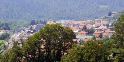
Germagnano, Italian comune
Location: Metropolitan City of Turin
Capital city: Germagnano
Elevation above the sea: 485 m
Shares border with: Fiano, Pessinetto, Traves, Viù, Cafasse, Lanzo Torinese, Vallo Torinese
Website: http://comune.germagnano.to.it
GPS coordinates: 45.26387,7.46948
Latest update: March 3, 2025 04:47
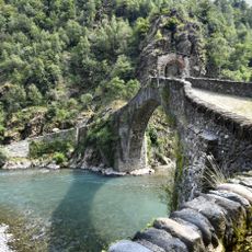
Ponte del Diavolo
886 m
Badia di San Vito
8.3 km
San Pietro in Vincoli Church
3.2 km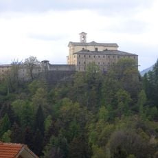
Sant'Ignazio (Pessinetto)
2.7 km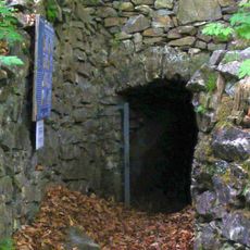
Grotte di Pugnetto
4.6 km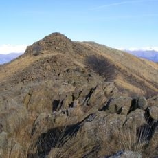
Monte Colombano
7.7 km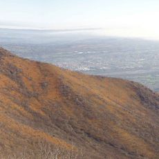
Monte Corno (Graian Alps)
2.6 km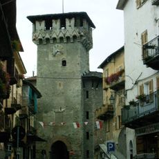
Torre civica di Aymone di Challant
1.1 km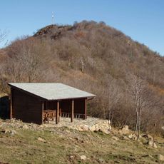
Il Turu
3.3 km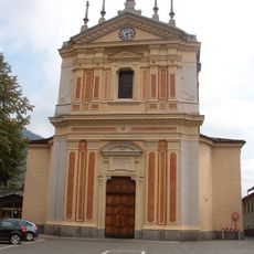
Chiesa dell'Assunzione di Maria Vergine
8.3 km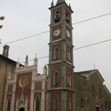
San Pietro in Vincoli
1.1 km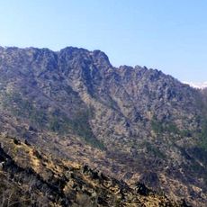
Uja di Calcante
6.4 km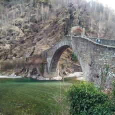
Riserva naturale del Ponte del Diavolo
1.1 km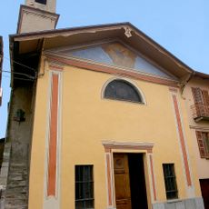
Santa Maria del Borgo
1.1 km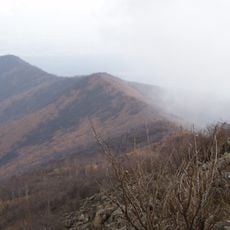
Monte Bernard
8.8 km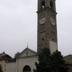
Santa Croce
1.3 km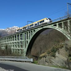
Stura di Valgrande viaduct
7.7 km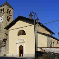
Santi Anastasia e Giovanni Evangelista
4.8 km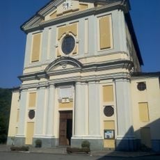
Chiesa di San Martino Vescovo
6.6 km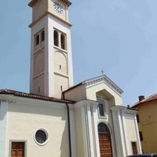
Chiesa dei Santi Lorenzo e Stefano
6.9 km
San Vito di Lunella
6.8 km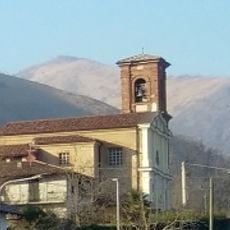
San Nicola Vescovo
6.1 km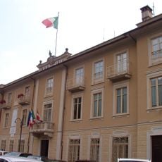
Town hall of Ceres
8.3 km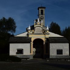
Madonna di Loreto
1.7 km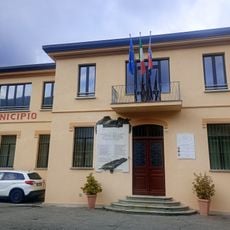
Town hall of Germagnano
287 m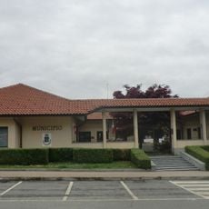
Town hall of Fiano
6.4 km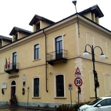
Town hall of Cafasse
4.4 km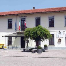
Town hall of Grosso
7 kmVisited this place? Tap the stars to rate it and share your experience / photos with the community! Try now! You can cancel it anytime.
Discover hidden gems everywhere you go!
From secret cafés to breathtaking viewpoints, skip the crowded tourist spots and find places that match your style. Our app makes it easy with voice search, smart filtering, route optimization, and insider tips from travelers worldwide. Download now for the complete mobile experience.

A unique approach to discovering new places❞
— Le Figaro
All the places worth exploring❞
— France Info
A tailor-made excursion in just a few clicks❞
— 20 Minutes