Monte Colombano, Mountain peak in Province of Turin, Italy.
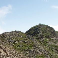
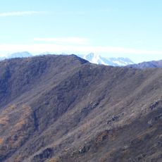
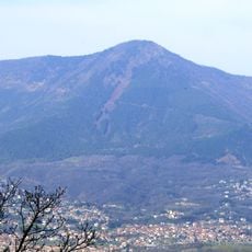
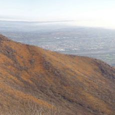
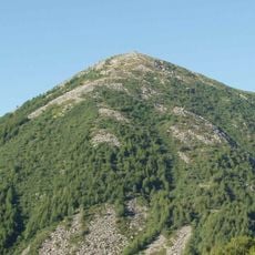
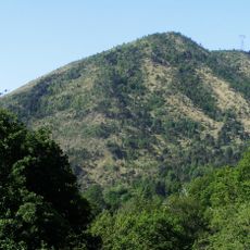
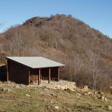
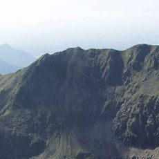
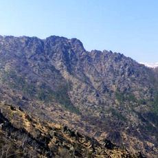
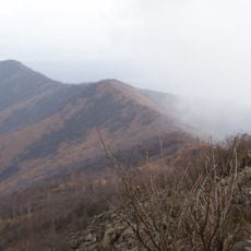
Monte Colombano is a 1,658 m mountain in the Graian Alps, the highest point of the Val Ceronda. Its summit, marked by a large stone cairn and an IGM geodetic point, lies where the communes of Viù, Varisella and Val della Torre meet. The mountain is arid and stony, with extensive scree slopes on both its eastern and western sides.
This peak has served as a boundary between three municipalities for centuries, marking the limits where their territories meet. The mountain's position helped define the administrative divisions of the surrounding valley communities.
Local walkers have long used the paths crossing this mountain, and visitors today follow the same routes that connect the surrounding valleys. The mountain continues to serve as a natural meeting point for people from the nearby villages.
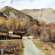
The trail begins from Colle Lunella, a lower pass that sits between the villages of Viù and Val della Torre. The route is on foot and takes you upward through open and forested sections, so sturdy shoes and basic fitness are needed.
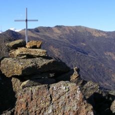
On the summit stands a massive cairn of piled stones, and the IGM trigonometric point "monte Colombano" (code 055042) is set there. The mountain's lherzolitic rock, partly turned into serpentinite, forms large block streams on its flanks, with boulders from a few decimetres to several metres across.
The community of curious travelers
AroundUs brings together thousands of curated places, local tips, and hidden gems, enriched daily by 92,788 contributors worldwide.