Monte Curt, Mountain summit in Piedmont, Italy.
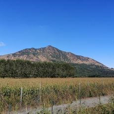
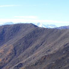
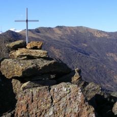
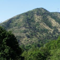
Monte Curt is a 1,323 m peak in the Graian Alps at the opening of the Susa Valley, on the watershed between the Dora Riparia and the Stura di Lanzo. It lies in the municipalities of Almese, Rubiana and Val della Torre, about 20 km west of Turin, and is separated from Monte Musinè by a wooded ridge whose lowest point is the Colle della Bassetta (948 m). Its slopes are mostly lherzolitic rock, partly serpentinised, and on the Susa Valley side it forms a glacial cirque drained by the Rio Morsino.
Iron minerals were mined for a long time on the Val Susa side of Monte Curt, giving the name to the hamlet of Ferro di Rubiana below. In the first half of the 20th century the same slope was reforested with resinous species.
The name Curt comes from Piedmontese for "short", and some maps give the Italianised form Monte Curto; the IGM geodetic vertex on the summit is likewise recorded as Monte Curto (code 055052). The iron minerals long extracted on the Valsusa side gave their name to the hamlet of Ferro di Rubiana, below the mountain.
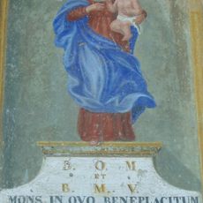
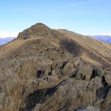
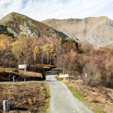
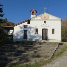
Three routes reach the summit: the CAI Almese trail named for Bruno Giorda, a forest-fire volunteer, starts at Pera Pluc and follows the south-east ridge; a crest path links the top to Monte Musinè via the Colle della Bassetta (948 m); a third climbs from the Pascaletto hamlet of Rubiana past the Santuario della Madonna della Bassa and Cima Bassa del Val (1,266 m).
The peak stands out among nearby summits due to its prominence, a measurement of how distinctly it rises from the surrounding landscape. This quality makes it a recognizable landmark when viewed from neighboring peaks or valleys.
The community of curious travelers
AroundUs brings together thousands of curated places, local tips, and hidden gems, enriched daily by 92,921 contributors worldwide.