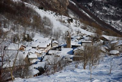
Moncenisio, Alpine municipality in Metropolitan City of Turin, Italy
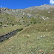
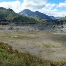
Moncenisio is a small Alpine commune situated at about 1,460 meters (4,790 feet) elevation in the Piedmont region. The settlement sits near the French border surrounded by rugged mountainous terrain.
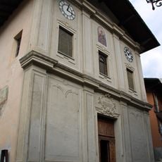
The settlement was originally called Ferrera Cenisio before being renamed after World War II. For centuries it served as a key waypoint along trade routes connecting Italy and France.
The name references the nearby mountain pass and reflects the Alpine heritage that shapes community life here. Residents maintain traditions deeply connected to mountain living and seasonal rhythms that define the area.
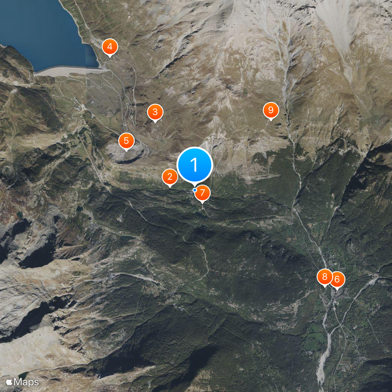
The location is reachable by road networks connecting to Turin, which lies about 60 kilometers to the west. Mountain roads can vary in conditions depending on the season and require careful driving.
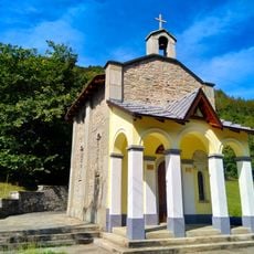
This is one of the least populated places in the area with just around 30 permanent residents. Despite the small number of inhabitants, the settlement maintains its own municipal administration and local identity.
Location: Metropolitan City of Turin
Elevation above the sea: 1,461 m
Shares border with: Novalesa, Venaus, Lanslebourg-Mont-Cenis, Val-Cenis
Website: http://comune.moncenisio.to.it
GPS coordinates: 45.20529,6.98250
Latest update: December 20, 2025 12:13
Val Cenise
454 m
Batteria La Court
1.4 km
Forte Cassa
2.9 km
Batteria Paradiso
1.4 km
Saint Stephen church
3.1 kmEcomuseo delle Terre al Confine
263 m
Madonna del Rocciamelone Chapel
2.9 kmPointe Baraccon de Chamois
1.9 kmMuseo di vita montana in Val Cenischia
3 kmFaggio
265 mFrassino maggiore
15 mScenic viewpoint
3.1 kmWayside shrine, Christianity, Catholic church building
22 mMemorial, commemorative plaque
3.2 kmPietro Aschieris
1 kmScenic viewpoint
2.9 kmRumiano Pietro, Perottino Silvino, Perottino Camillo, Rivetti Michele
1.2 kmMemorial, commemorative plaque
87 mCatholic church building, wayside shrine, Christianity
1.7 kmCatholic church building, wayside cross, Christianity
20 mGiovanni Zublema
1.1 kmCatholic church building, wayside shrine, Christianity
1.3 kmCatholic church building, wayside shrine, Christianity
96 mCrocetta
2.9 kmMemorial, commemorative plaque
1.1 kmWaterfall
2.7 kmWaterfall
2.4 kmWaterfall
3.2 kmVisited this place? Tap the stars to rate it and share your experience / photos with the community! Try now! You can cancel it anytime.
Discover hidden gems everywhere you go!
From secret cafés to breathtaking viewpoints, skip the crowded tourist spots and find places that match your style. Our app makes it easy with voice search, smart filtering, route optimization, and insider tips from travelers worldwide. Download now for the complete mobile experience.
A unique approach to discovering new places❞
— Le Figaro
All the places worth exploring❞
— France Info
A tailor-made excursion in just a few clicks❞
— 20 Minutes