
Fontaniva, Italian comune
Location: Province of Padua
Capital city: Fontaniva
Elevation above the sea: 45 m
Part of: Union of municipalities of the Brenta
Shares border with: Carmignano di Brenta, Grantorto, Cittadella, San Giorgio in Bosco
Website: http://comune.fontaniva.pd.it
GPS coordinates: 45.63763,11.75220
Latest update: March 14, 2025 05:10
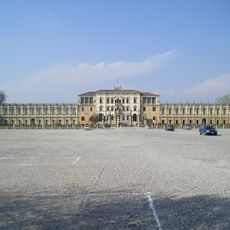
Villa Contarini
10.7 km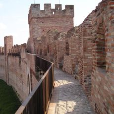
Defensive walls in Cittadella
2.7 km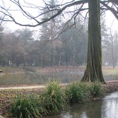
Villa Imperiale
6.8 km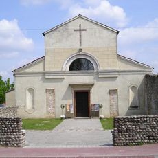
San Donato
3.1 km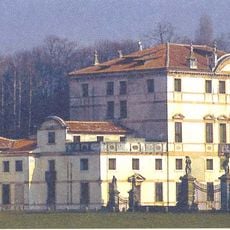
Villa Dolfin Boldù
9.3 km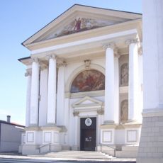
Chiesa di Sant'Andrea Apostolo
6 km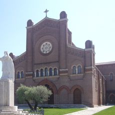
San Martino Vescovo
8.1 km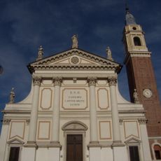
Duomo di Rosà
9.7 km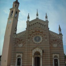
Santa Maria
10.8 km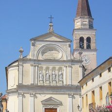
Chiesa di Natività della Beata Vergine Maria
8.3 km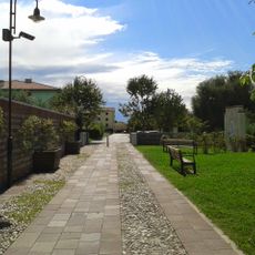
Parco delle Rose
9.6 km
Chiesa dei Santi Pietro e Rocco
6.6 km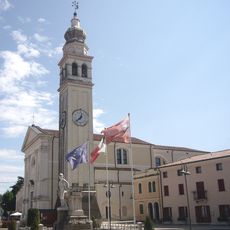
Santa Maria Maddalena
6.6 km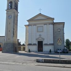
Chiesa della Visitazione della Beata Vergine Maria
9.2 km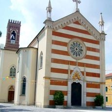
Chiesa del Sacro Cuore di Gesù
5.6 km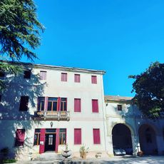
Villa Giustinian
5 km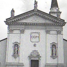
Chiesa dei Santi Biagio e Daniele
4.4 km
Torre di Malta
2.7 km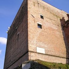
Torre di Malta
2.7 km
Santa Maria del Torresino
2.7 km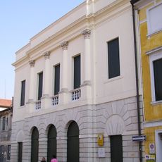
Teatro Sociale
2.7 km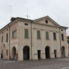
Palazzo della Loggia
2.7 km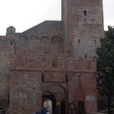
Porta Bassanese
2.8 km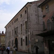
Palazzo Pretorio
2.9 km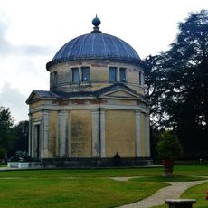
Tempietto del Temanza
10.8 km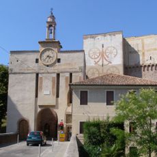
Porta Padovana
2.7 km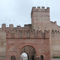
Porta Vicentina
2.5 km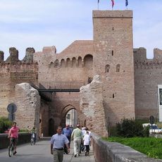
Porta Trevisana
3 kmReviews
Visited this place? Tap the stars to rate it and share your experience / photos with the community! Try now! You can cancel it anytime.
Discover hidden gems everywhere you go!
From secret cafés to breathtaking viewpoints, skip the crowded tourist spots and find places that match your style. Our app makes it easy with voice search, smart filtering, route optimization, and insider tips from travelers worldwide. Download now for the complete mobile experience.

A unique approach to discovering new places❞
— Le Figaro
All the places worth exploring❞
— France Info
A tailor-made excursion in just a few clicks❞
— 20 Minutes