
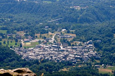
Rueglio, Italian comune
Location: Metropolitan City of Turin
Capital city: Rueglio
Elevation above the sea: 675 m
Shares border with: Castellamonte, Castelnuovo Nigra, Issiglio, Val di Chy, Valchiusa, Vistrorio
Website: http://comune.rueglio.to.it
GPS coordinates: 45.46826,7.75462
Latest update: March 4, 2025 08:43
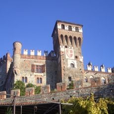
Castello di Pavone Canavese
8.7 km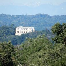
Villa Pallavicino
7.2 km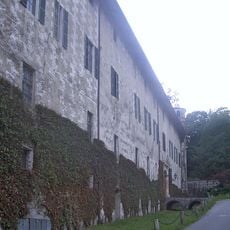
Castello di Parella
5.4 km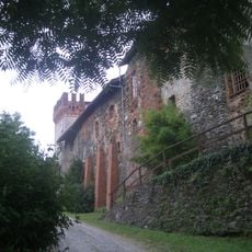
Castello di Castellamonte
9.8 km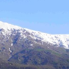
Punta di Verzel
8.2 km
Pera dij Crus
5.4 km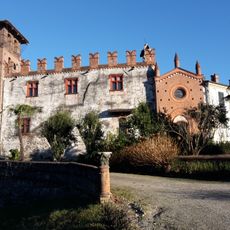
Castle of Banchette
8.1 km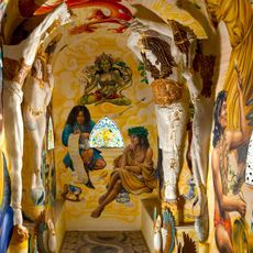
Damanhur and the Temples of Humankind
4.4 km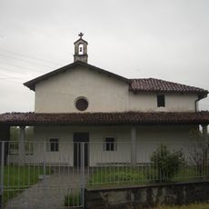
Pieve di Santa Maria di Vespiolla
7.5 km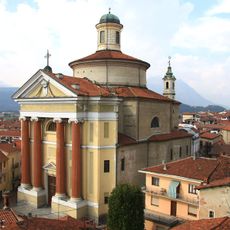
Sant'Andrea
8.6 km
Villa Capellaro
8.7 km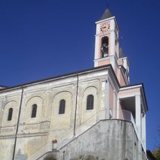
San Cristoforo (Banchette)
8.3 km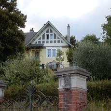
Villino Barattia
5.2 km
San Pietro in Vincoli
2.7 km
Menhir
3.3 km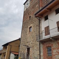
Torre Rossa
9.2 km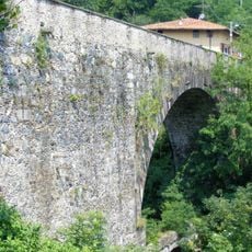
Ponte dei Preti
5.8 km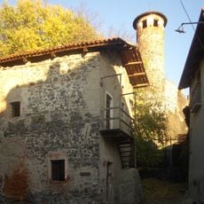
Ricetto di Pavone Canavese
8.6 km
Torre campanaria
8.6 km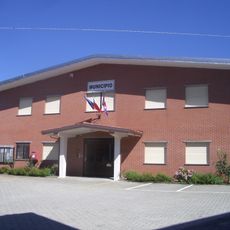
Town hall of Issiglio
2.4 km
Santuario di Piova
7.7 km
Town hall of Brosso
4.7 km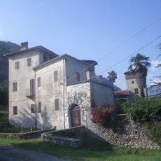
Castello Cagnis
4.7 km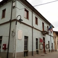
Town hall of Fiorano Canavese
5.8 km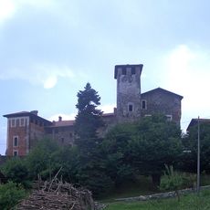
Castello
4.9 km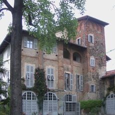
Castello di Torre Canavese
8.7 km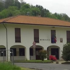
Town hall of Baldissero Canavese
6.7 km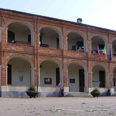
Town hall of Bairo
9.1 kmReviews
Visited this place? Tap the stars to rate it and share your experience / photos with the community! Try now! You can cancel it anytime.
Discover hidden gems everywhere you go!
From secret cafés to breathtaking viewpoints, skip the crowded tourist spots and find places that match your style. Our app makes it easy with voice search, smart filtering, route optimization, and insider tips from travelers worldwide. Download now for the complete mobile experience.

A unique approach to discovering new places❞
— Le Figaro
All the places worth exploring❞
— France Info
A tailor-made excursion in just a few clicks❞
— 20 Minutes