
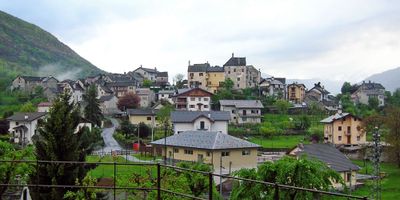
Trontano, Italian comune
Location: Province of Verbano-Cusio-Ossola
Capital city: Trontano
Elevation above the sea: 520 m
Shares border with: Beura-Cardezza, Cossogno, Domodossola, Druogno, Masera, Premosello-Chiovenda, Malesco, Santa Maria Maggiore
Website: http://comune.trontano.vb.it
GPS coordinates: 46.12222,8.33333
Latest update: March 8, 2025 02:15
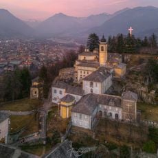
Sacred Mount Calvary of Domodossola
3.9 km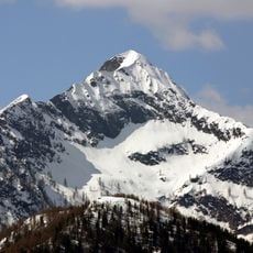
Pizzo Ragno
7.2 km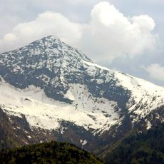
Monte Togano
5.9 km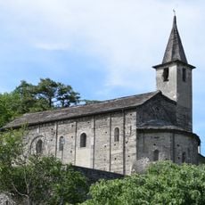
San Quirico
3.7 km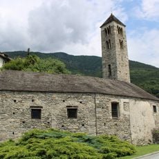
Sant'Abbondio
1.4 km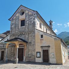
Natività di Maria Vergine church
63 m
Testa del Parise
6.2 km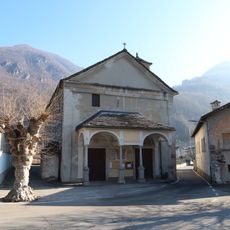
Chiesa di San Giorgio
5.7 km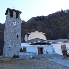
San Giuseppe Artigiano church
3.3 km
Pizzo Tignolino
5.1 km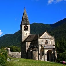
Chiesa di Sant'Ambrogio
5.5 km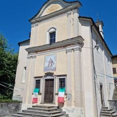
Santa Marta church
87 m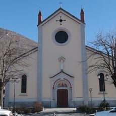
San Martino
1.4 km
Punta I Pisoui
3.9 km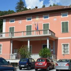
Town hall of Masera
1.7 km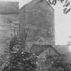
Torre Ferrari
5.5 km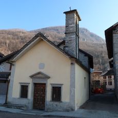
Oratory of San Bernardo d'Aosta
5.4 km
Pizzo della Rossola
9.5 km
Colma Piana
8.7 km
Pizzo Mottàc
8.4 km
Costa Rondino
7.1 km
Punta Pozzola
6.4 km
Pizzo Desen
6.4 km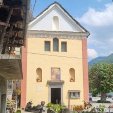
Beata Vergine Annunziata oratory
2.8 km
Pizzo Marcio
4.9 km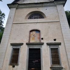
Santa Elisabetta oratory
2.2 km
Pizzo Nona
6.7 km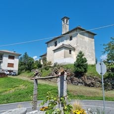
San Leonardo oratory
263 mVisited this place? Tap the stars to rate it and share your experience / photos with the community! Try now! You can cancel it anytime.
Discover hidden gems everywhere you go!
From secret cafés to breathtaking viewpoints, skip the crowded tourist spots and find places that match your style. Our app makes it easy with voice search, smart filtering, route optimization, and insider tips from travelers worldwide. Download now for the complete mobile experience.

A unique approach to discovering new places❞
— Le Figaro
All the places worth exploring❞
— France Info
A tailor-made excursion in just a few clicks❞
— 20 Minutes