
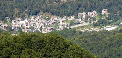
Pila, Italian comune
Location: Province of Vercelli
Elevation above the sea: 686 m
Shares border with: Piode, Scopello, Pettinengo
Website: http://comune.pila.vc.it
GPS coordinates: 45.75924,8.06881
Latest update: March 7, 2025 23:55
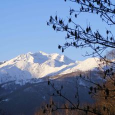
Monte Bo
7.4 km
Lago delle Mischie
6.7 km
Cima d'Ometto
2.2 km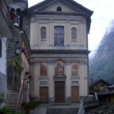
San Giacomo Maggiore
5.2 km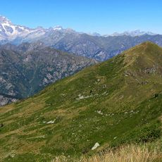
Monte Bo di Valsesia
3.9 km
Denti di Gavala
7.5 km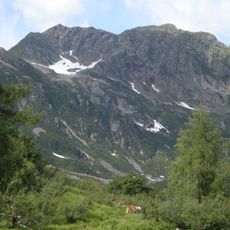
Punta Sivella
8.3 km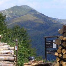
Cima dell'Asnas
6.4 km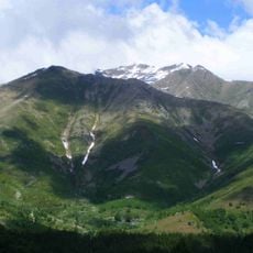
Cima delle Guardie
8.7 km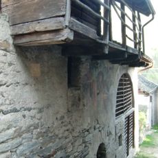
Oratorio di San Pantaleone
8.9 km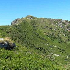
Testone delle Tre Alpi
4.3 km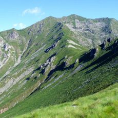
Punta del Cravile
7.8 km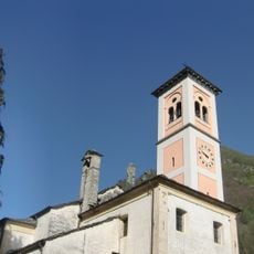
Santi Pietro e Paolo
8.6 km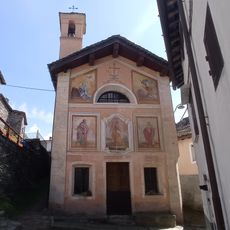
Chiesa di Sant'Agata
4.8 km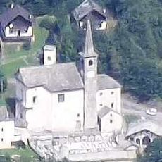
Santo Stefano
1.7 km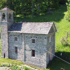
San Giovanni
9.8 km
Santa Croce
4.3 km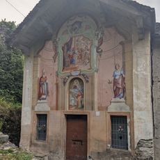
Oratory of San Quirico
7.9 km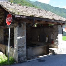
Lavatoio
5.1 km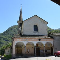
San Bartolomeo
5.1 km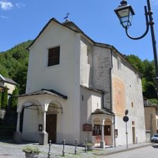
Santa Margherita
8.6 km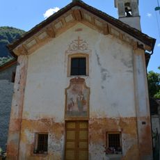
Santa Liberata
3.4 km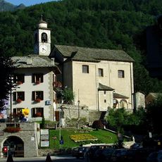
Maria Vergine Assunta
2.6 km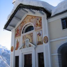
Santuario della Madonna del Callone
5.8 km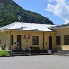
Town hall of Balmuccia
8.5 km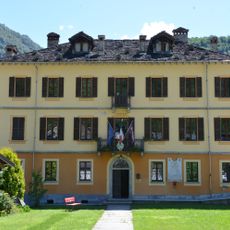
Town hall of Scopa
5 km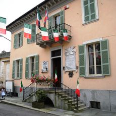
Town hall of Boccioleto
8.6 km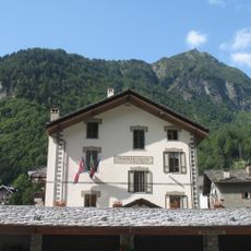
Town hall of Piode
1.7 kmVisited this place? Tap the stars to rate it and share your experience / photos with the community! Try now! You can cancel it anytime.
Discover hidden gems everywhere you go!
From secret cafés to breathtaking viewpoints, skip the crowded tourist spots and find places that match your style. Our app makes it easy with voice search, smart filtering, route optimization, and insider tips from travelers worldwide. Download now for the complete mobile experience.

A unique approach to discovering new places❞
— Le Figaro
All the places worth exploring❞
— France Info
A tailor-made excursion in just a few clicks❞
— 20 Minutes