San Vito di Cadore, Mountain commune in Province of Belluno, Italy
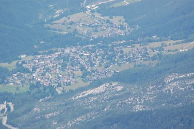
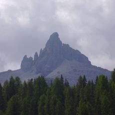
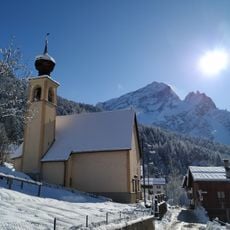
San Vito di Cadore is a mountain commune in the Province of Belluno, sitting at 1011 meters in a wide basin surrounded by peaks including Monte Antelao, Monte Marcora, and Monte Pelmo. The settlement spreads across this valley floor with dramatic mountain walls rising on all sides.
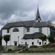
The settlement developed from a small mountain village into a recognized Italian commune, maintaining its administrative status within the Veneto region across centuries. This continuity shows how the place remained an established part of the mountain community structure.
The town gathers for celebrations honoring Saint Vitus on June 15th, bringing together locals known as Sanvitesi for community festivities that remain central to village life. These occasions reflect how the place keeps its traditions alive through shared gatherings.
The town sits roughly 115 kilometers from Venice and about 10 kilometers from Cortina d'Ampezzo, positioned along the SS51 Alemagna State Road. Visitors should keep in mind that the mountain location and heavy winter snow affect travel times and seasonal accessibility.
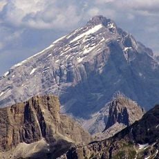
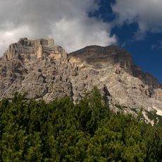
The towering Monte Antelao right beside the town reaches about 3264 meters, making it the second-highest peak in the Dolomites after only the Marmolada. This proximity to one of the region's most notable mountains makes the place a natural base for climbers and hikers.
The community of curious travelers
AroundUs brings together thousands of curated places, local tips, and hidden gems, enriched daily by 60,000 contributors worldwide.