
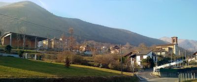
Varisella, Italian comune
Location: Metropolitan City of Turin
Capital city: Varisella
Elevation above the sea: 521 m
Shares border with: Fiano, La Cassa, Val della Torre, Vallo Torinese, Viù, Givoletto
Website: http://comune.varisella.to.it
GPS coordinates: 45.21667,7.48333
Latest update: March 3, 2025 15:30
Badia di San Vito
5.5 km
La Bizzarrìa
7.8 km
Santuario Madonna della Bassa
8.8 km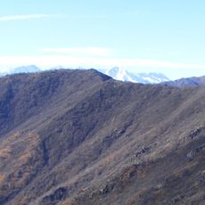
Monte Arpone
8.1 km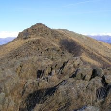
Monte Colombano
4.5 km
Parco naturale del Colle del Lys
9 km
Monte Corno (Graian Alps)
2.9 km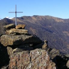
Monte Lera
4.8 km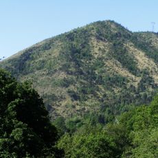
Monte Baron
6.5 km
Il Turu
2.4 km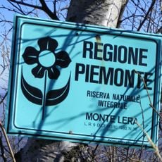
Riserva naturale della Madonna della Neve sul Monte Lera
4.5 km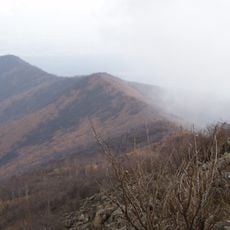
Monte Bernard
3.5 km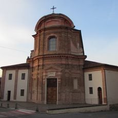
Church of Sant'Egidio
9.2 km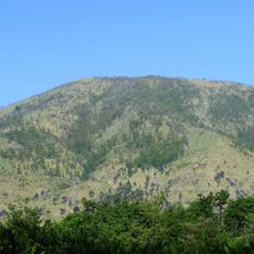
Monte Rosselli
5.7 km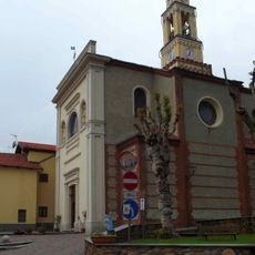
San Lorenzo Martire
4.8 km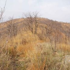
Punta Fournà
4.1 km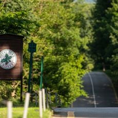
I Roveri
6.6 km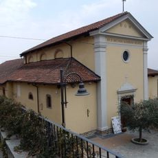
Chiesa di San Secondo
6.3 km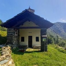
San Vito di Lunella
7.2 km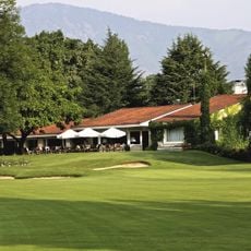
Circolo Golf Torino - La Mandria
5.3 km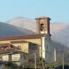
San Nicola Vescovo
843 m
Town hall of Givoletto
6.5 km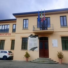
Town hall of Germagnano
5.2 km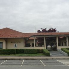
Town hall of Fiano
2.9 km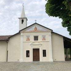
San Vito Martire
6.4 km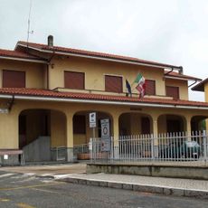
Town hall of La Cassa
4.8 km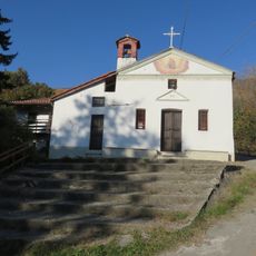
Cappella dei Santi Vito e Lucia
6.8 km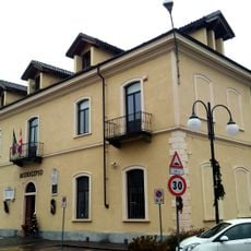
Town hall of Cafasse
4.1 kmVisited this place? Tap the stars to rate it and share your experience / photos with the community! Try now! You can cancel it anytime.
Discover hidden gems everywhere you go!
From secret cafés to breathtaking viewpoints, skip the crowded tourist spots and find places that match your style. Our app makes it easy with voice search, smart filtering, route optimization, and insider tips from travelers worldwide. Download now for the complete mobile experience.

A unique approach to discovering new places❞
— Le Figaro
All the places worth exploring❞
— France Info
A tailor-made excursion in just a few clicks❞
— 20 Minutes